 Ukraine
 Poland
 Slovakia
 Українською
Ivano-Frankivsk region
Ivano-Frankivsk oblast (region) is located in the west of Ukraine; in the northwest it borders on Lviv, in the northeast — on Ternopil, in the southeast — on Chernivtsi and in the southwest — on Transcarpathian oblasts of Ukraine. In the south, it shares borders with Romania. The oblast was established on December 4, 1939, and it had been called Stanislav oblast by 1962.
Its administrative centre is the city of Ivano-Frankivsk.
Ethnic groups of Hutsuls and Boykos live in the territory of Ivano-Frankivsk oblast.
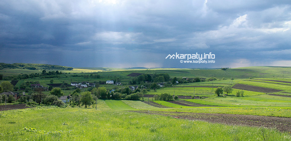
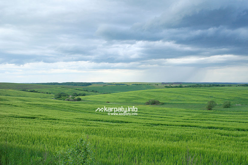
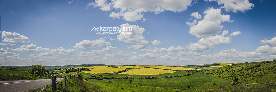
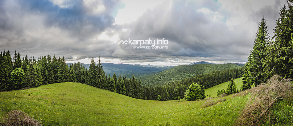
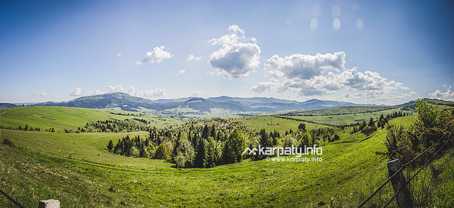
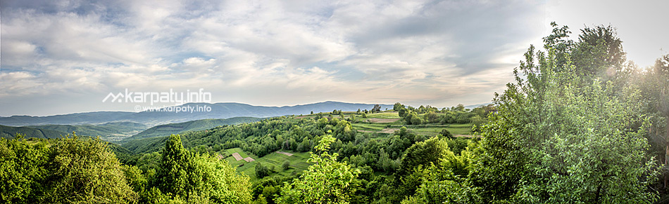
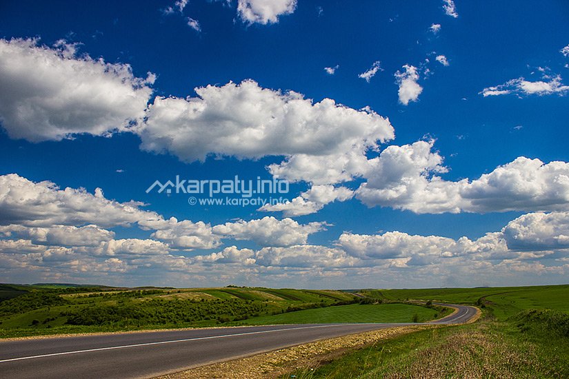
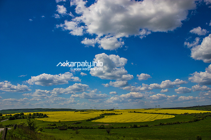
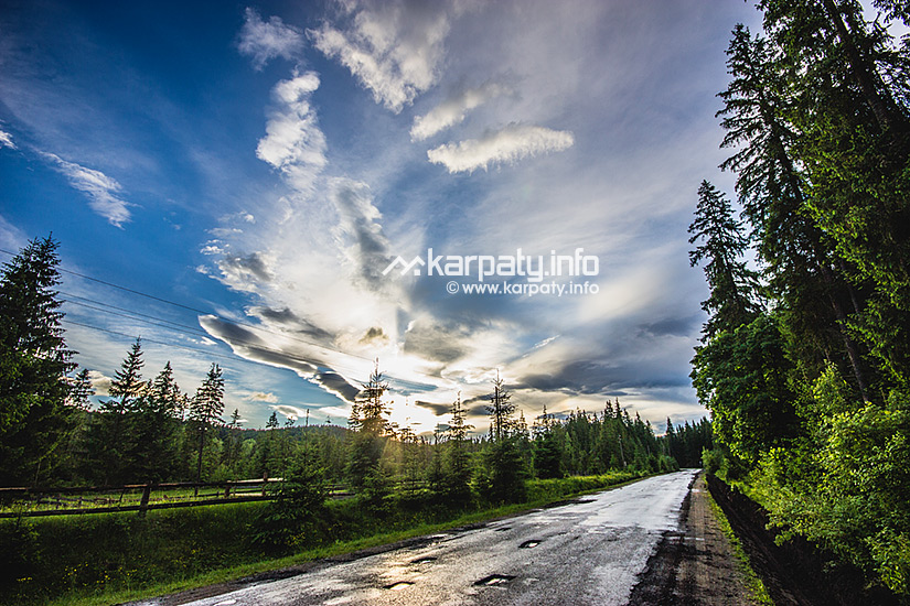
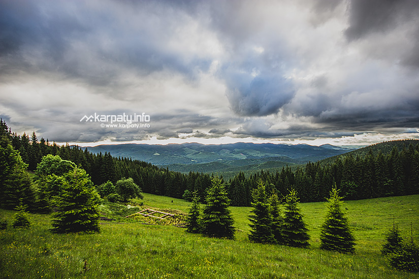
The landscape can be characterised by a great diversity. A considerable part of the oblast is located within physiographic zone of Carpathians, and its extreme southeastern part — within forest-steppe zone. By the nature of the relief, Ivano-Frankivsk oblast is divided into three parts. In the north, there is the Podolian Upland (up to 430 m). On the Dnister right side, there is the Subcarpathian lowland (Pokutska lowland, Voinyliv and Pryluky uplands, Bystrytska, Kaluska and Rozhniativ hollows, Maydanske lowland and others). Almost the half of the territory of the oblast is occupied by the Carpathians. They are divided by transverse and longitudinal valleys into mountain massives and ranges stretching into the southeast — the Gorgany and the Pokutsko-Bukovynian Carpathians. In the south of the oblast, there are the Hryniavy and Chyvchyny mountains, as well as the Chornohora mountain range where there is the highest peak of Ukraine — Mount Hoverla (2061 m).
The climate of the oblast is temperate-continental. In the Subcarpathia and the Podolian upland, winter is mild, summer is warm, the average temperature of January is -5º, of July — +19º. The period with the temperature of +10º lasts for 155-170 days, the frost-free period — for 150-155 days. In the mountains, the climate is much more severe — the higher you are, the colder it is. In average, the temperature shift is -0,5º at an altitude of 100 m. In the mountains, snow covering lasts from the beginning of November to May, its thickness is more than 60 cm at an altitude of 650 m. There are downpours, hail, blizzards, glazed frost, fogs and frosts among adverse climatic phenomena. If you are getting ready for a trip, take into account the difference in the climate — warm clothes and boots may be useful even in summer.
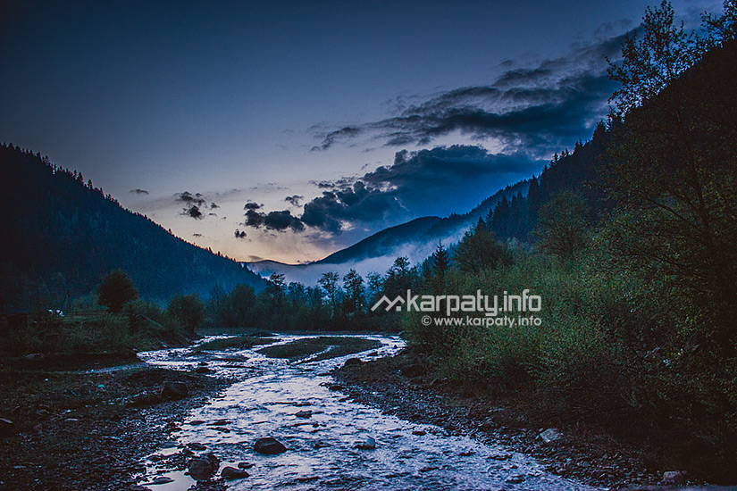
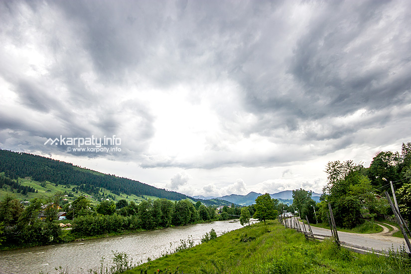
8586 rivers flow through the territory of the oblast. They belong to the Dnister and Prut basins. There are such right tributaries of the Dnister within the oblast: the Svicha, the Limnytsa and the Bystrytsa; and left ones as the Svir and the Hnyla Lypa. Right tributaries of the Prut are the Cheremosh, the Rybnytsia, the Pistynka and the Liuchka; left ones are the Turka, the Chorniava and the Beleluya. The rivers are in a large part fast flowing, they create cascades and waterfalls that are very important for water tourism. There are few lakes here, among mountain ones — Brebeneskul, Lebedyne and Nesamovyte.
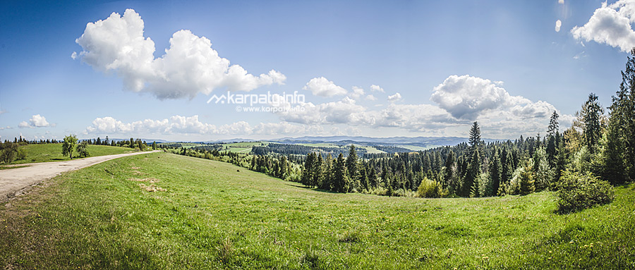
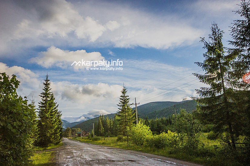
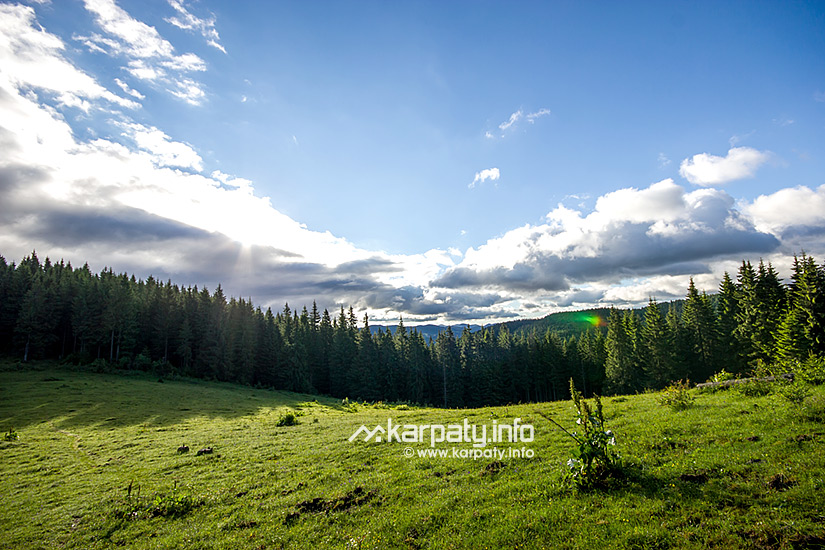
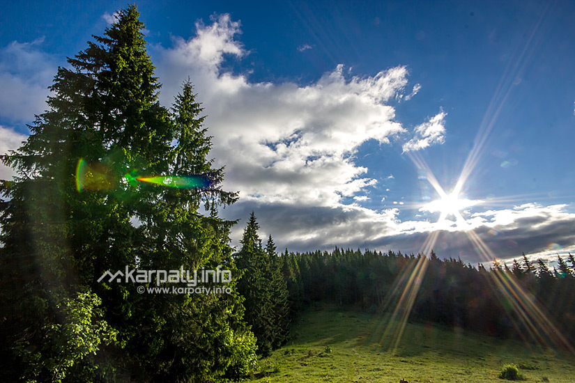
Ivano-Frankivsk oblast is one of the richest in forests in Ukraine. In the plain and foothills, they occupy 30% of the territory (hornbeam, oak and beech prevail), on the slopes of the Carpathians — 60% (at an altitude of 800-1000 m - beech, fir tree, spruce and silver fir; up to 1500 m — spruce, fir tree, Swiss and mountain pine). At the altitudes of more than 1500 m, you can find subalpine meadows (polonynas).
Subcarpathia is the land of natural reserves. In the territory, there are 438 reserves and protected objects of the total area of 186,5 thousand hectares. The part of the mountain territory of the area of 503 km2 belongs to National Park "Karpatsky". The upper reaches of the Prut and Chornyi Cheremosh rivers as well as Mount Hoverla with Chornohora and Gorgany natural complexes belong to the park. Its task is to contribute to the preservation of landscapes, flora and fauna, to create appropriate conditions for recreation and tourism, for getting acquainted with natural attractions as well as with cultural and historical monuments.
In Ivano-Frankivsk oblast, there are possibilities for a lot of kinds of tourism: cultural and historical (Halych, Kolomyia, Rohatyn, Ivano-Frankivsk), patriotic (museums, bunkers and tours in places of military glory of the UPA (the Ukrainian Insurgent Army)), rural green, equestrian, water, adventure, ski-tourism and many others. Favorable climate, mineral waters and therapeutic peat muds belong to natural recreational resources of the oblast. Among resorts, there are such low-mountain ones as Yaremche, Tatariv, Mykulychyn, Myslivka, Novy Mizun, Sheshory, high-mountain ones as Vorokhta and Yablunytsya as well as a balneo-mud foothill resort 'Cherche'.
Mineral waters: in the mountainous part, there are chloride-sodium mineral waters (Верховинський and Rozhnyativ district districts), along the Chornyi Cheremosh — carbon waters of low mineralization, near the village of Sheshory — mineral water like 'Naftusia'; in Subcarpathia — chloride-sodium and calcium-sodium waters (Dolyna, Kalush, Starunia, Kosmach, Kosiv); in the plain — iodine-bromine waters of low mineralization and sulfide ones (Bilshivtsi, Korshiv, Horodenka and Cherche). Deposits of therapeutic peat muds are located in Horodenka district, Rohatyn district and Dolyna district districts.
The most famous Ukrainian ski resort Bukovel is also located in Ivano-Frankivsk oblast.


Walk around the old cities of Ivano-Frankivsk and Kolomyia.
Visit the famous monastery at Hoshiv and Manyava Skete.
At the shepherds' houses, taste fresh sheep bryndza and Hutsul cuisine.
Take a photo of yourself in Hutsul clothes.
At the workshops, learn to weave Hutsul woolen blankets, sculpt Kosiv ceramics or make motanka-dolls (Ukrainian dolls made of natural fabrics and materials, including straw, grain, clay, flax, wool and even corn, and put together with the use of knots).
In winter — go skiing, in summer — go camping or ride a horse.
Travel companies of the region will offer you a lot of various one- or many-day tours, among them — walking, cycling or bus excursions, rafting along mountain rivers as well as the Dnister river.
R. Kumlyk Museum
Nature of Halych Land
History museum of ancient Halych
Hutsulshchyna and Pokuttya Folk Art Museum
Museum Of Folk Art Of Hutsul
Vyhoda NGR Heritage Centre
Easter eggs painting museum
Museum of Ethnography and Mode of Life
Art Museum
High-mountain observatory on Mount Pip Ivan, Verkhovyna district
Villa Cedar Chamber, the village of Osmoloda
Church of the Immaculate Conception of the Bl. Virgin Mary and cells (1769), the city of Horodenka
Manyava Skete
Pniv Fortress
Church of the Nativity of the Virgin (ХVІІ-XVIII cent.), the urban village of Vorokhta
Church of the Nativity of Jesus (ХІІІ-XV cent.), the city of Halych
Сhurch of St. Panteleymon (XII cent.) with a belfry, the village of Shevchenkove
Church of the Holy Spirit, the city of Rohatyn
Nature Reserve "Gorgany"
Mud volcano, the village of Starunia
Dnisterskyi regional landscape park
Zhenetsky Waterfall, the village of Tatariv
Manyava Waterfall
Dovbush Rocks, the city of Yaremche
The Rocks of Dovbush, the village of Bubnyshche
Yew-tree reserve, the village of Kniazhdvir
Protected area Lebedyn (including lake of the same name), the village of Sheshory
Administrative divisions of Carpathian inhabited localities may seem unusual to the residents of big cities. The majority of houses in villages don't have addresses — streets and house numbers. Most often the territory is divided into village-type settlements that in Yaremche district are often called 'uchastok' (a surzhyk word that means a site used by somebody for a particular reason).
One more peculiarity of the region is celebration of religious holidays. On days like these, the majority of places, where manual labour is needed, for example, service stations, are not working. Some disruptions in the schedule of public transport may occur. Shops and catering establishments work but often part-time. Round-the-clock shops are only in big cities, and also at such gas stations as "OKKO", "WOG", "Lukoil" and others.
- V. Virastyuk, the strongest person in the world in 2004 and 2007, was born in Ivano-Frankivsk.
- The most highly located place of work and scientific institution in Ukraine — Biological Station of Lviv branch of the Botany Institute of NASU (the National Academy of Sciences of Ukraine) — is located on polonyna Pozhyzhevska (1429 metres above sea level). It includes Weather and Snow Stations. It was built in 1899. Polonyna Pozhyzhevska is also the wettest — 1593 mm Hg of annual precipitation — and the windiest place in Ukraine — the wind at a speed of more than 15 m/s (54 km/h) blows here in average for 120 days annually.
- The most highly located sanatorium is 'Hirske Povitria' ('Mountain Air') in Vorokhta at an altitude of 850 metres above sea level. The sanatorium has basis for treatment of respiratory diseases.
- The village of Mykulychyn is considered to be the longest one in Ukraine — it stretches for 24 km, at first — along the road, then — into the mountains.
- The village of Kosmach, so-called 'Hutsul capital', is the largest village by area in Europe.
- The most highly located district in Ukraine is Verkhovyna district, one of its village-type settlements is the most highly located habitation in Ukraine.
- The highest town hall in Ivano-Frankivsk oblast is located in the city of Snyatyn (its height is 50 m).
- One of the largest stone railway bridges in Ukraine is located in Vorokhta, it was built in 1895. Its total length is 130 m while the vault is 65 m. The bridge is not in use nowadays.
- The most highly located construction is considered to be the ruins of Meteorological and Astronomical Observatory on Mount Pip Ivan (2028 m).
- The largest plateau is located in the Chyvchynski mountains at an altitude of 1750 metres above sea level in the form of the flat top of Mount Palenytsia.
- The most high-altitude lake is Brebeneskul that is located on the slopes of Mount Hutyn-Tomnatyk at an altitude of 1801 m, it is 134 m in length and 44 m in width, its square is 4000 m2 and its maximum depth is 2,8 m.
- The highest subalpine hollow bog is located in the saddle between polonynas Breskul and Pozhyzhevska at an altitude of 1800 m that appeared in glacial cirques because of water-logging of lakes. The bogs in Ozerne (1750 m) and at the foothill of Mount Brebeneskul (1700 m) also belong to these kinds of bogs.
- Hanging bogs are considered to be the most unusual ones, they often 'nestle' on the mountain slopes. The largest of them — Hlystove bog — is located on the southern slope of the polonyna of the same name in the Hryniavski mountains at an altitude of 1450 m.
- The most high-altitude tree is mountain pine, it is found on the slope of Mount Pip Ivan Chornohorskyi at an altitude of 2010 metres above sea level. It is unpretentious, has wide ecological amplitude, it can grow on dry rocky cliffs and in placers with undeveloped layer of soil. It shows 2-4 m high krumholtz formation or 20-30 cm high small dwarf specimens.
- In 1907 near the village of Starunia, animal remains of the end of the Ice Age were found by accident. In the ozokerite mine at a depth of 12,5 m, a mammoth was found, and a bit deeper — a woolly rhinoceros, a megaloceros, different birds and amphibians. Obviously, salt, ozokerite, solution of petroleum and oxygen-free conditions of mud contributed to the preservation of animals. By radiobiological method, the rhinoceros was discovered to have been lying here for 23255 ± 775 years.
- Near the village of Starunia, a unique mud volcano of anthropogenic origin is located. It responds to earthquakes that occur within a radius of 3-6 thousand km in Romania, Italy, Germany, Iraq, in the Caucasus and even in Soviet Central Asia. This permanently active underground 'barometer' is a unique place for exploring peculiarities of the dynamics of the earth.
Ivano-Frankivsk oblast has advantageous transport and geographical position. Main motorways: Rohatyn - Ivano-Frankivsk - Rakhiv - Mukachevo (H-0З),
Stryj - Ivano-Frankivsk - Kolomyia - Chernivtsi (H-04).
Airport: Ivano-Frankivsk.
Railway and road network provides a good connection between the oblast and many districts of Ukraine as well as neighbouring countries.