 Ukraine
 Poland
 Slovakia
 Українською
Marked Paths
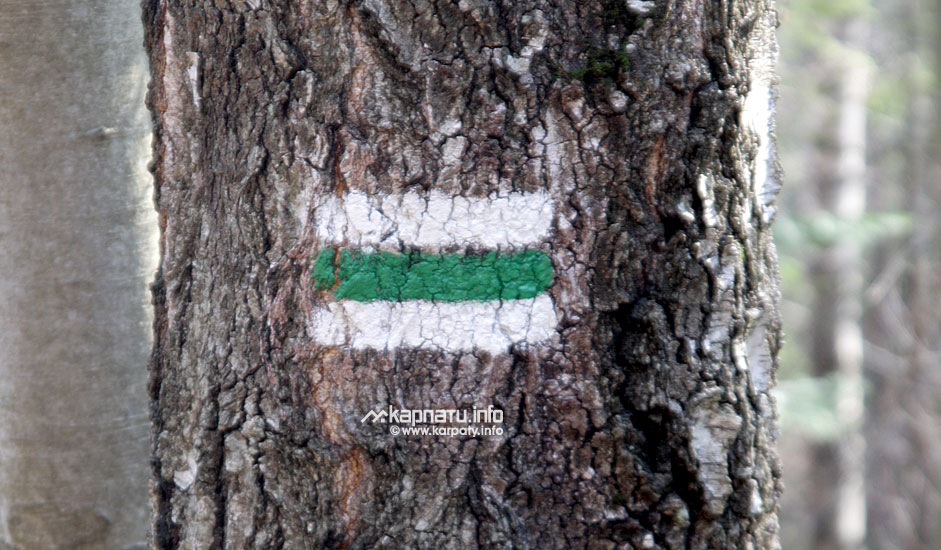
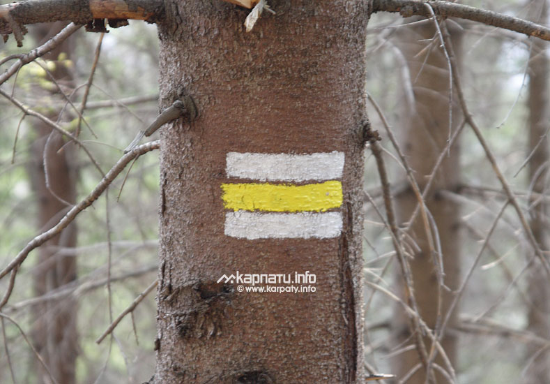
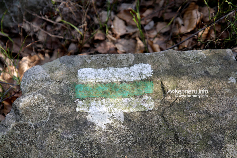
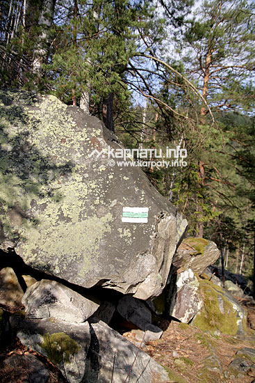
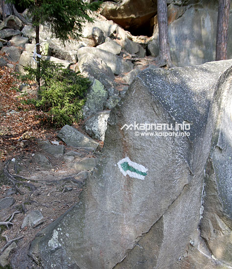
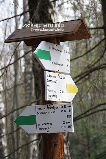
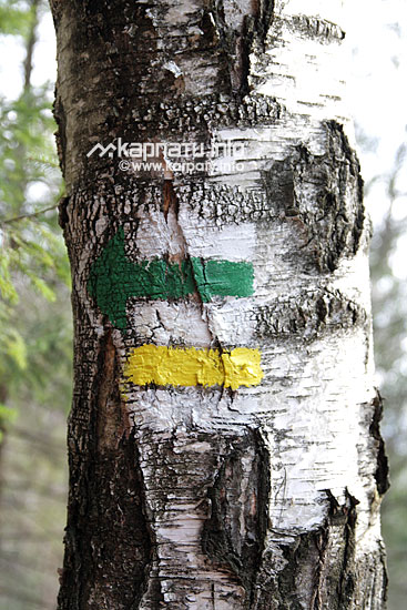
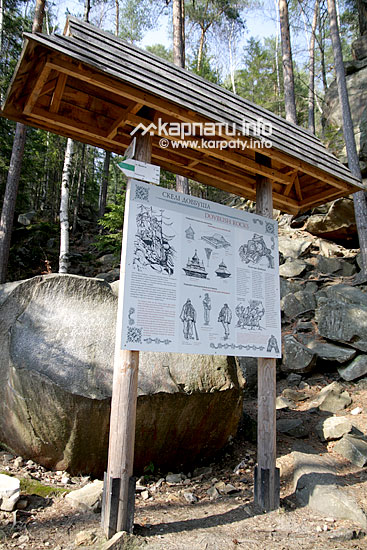
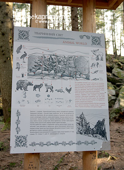
On many settlements' pages (as e.g. Yaremche or Kosiv district) you can see routes descriptions, many of them are marked. What does the route marking mean?
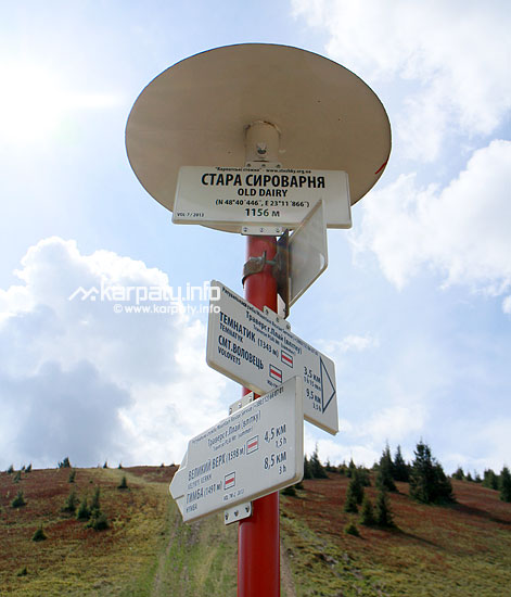
The most important is that those markers are of a certain colour, that helps to orientate and not to get out of the right path.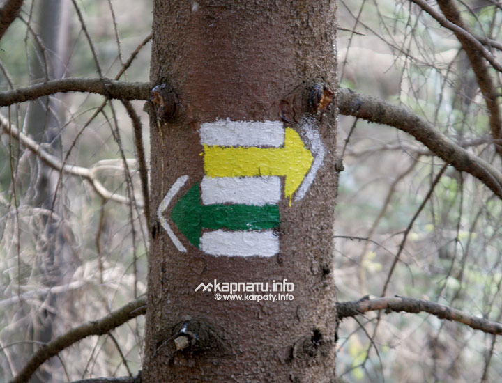

Some more cautions:
- On straight distances and roads without any subroads it is allowed to set signs in 300 m far from each other, but at the open localities — at any objects, which are 15 m far from the road side.
- If you lose marking on the route, always come back to the last visible sign and try to find the continuation of the marked route.
- If on the subroad (or the crossroads) there are no signs, always follow the road with better surface to the next visible sign. If there are no signs for a long period, use the available map.
- On the nature protection areas tourists can move just along the marked routes or along the recommended paths.