Ukraine
 Poland
 Slovakia
 Українською
Vynohradiv district
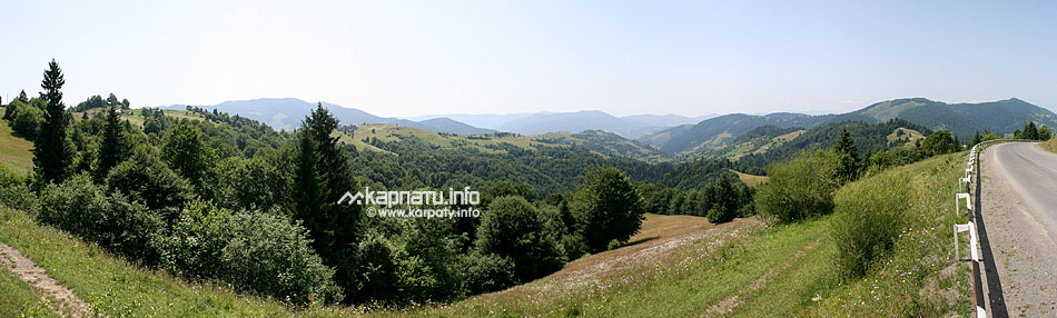
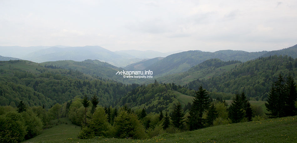
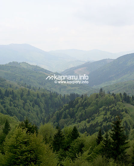
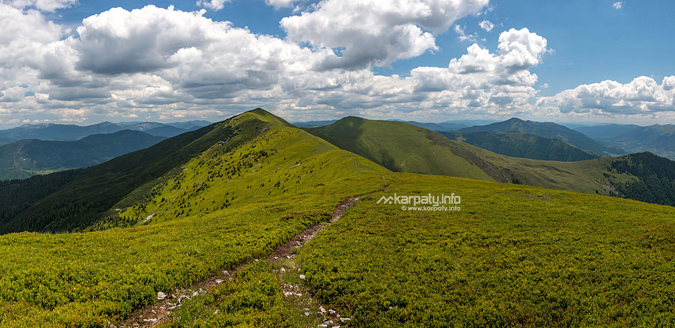
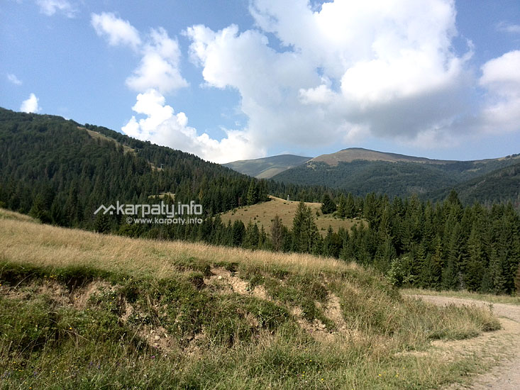
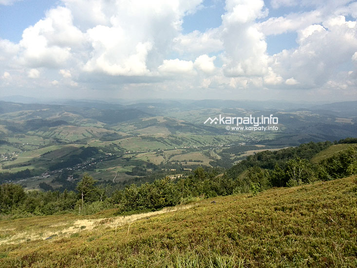
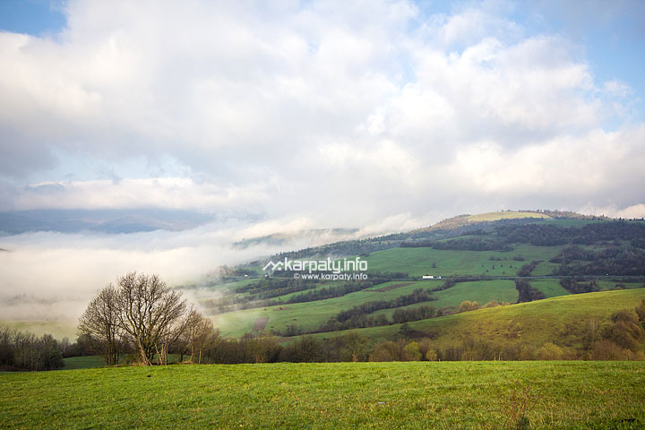
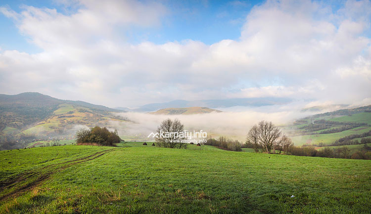
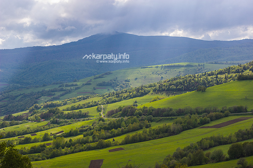
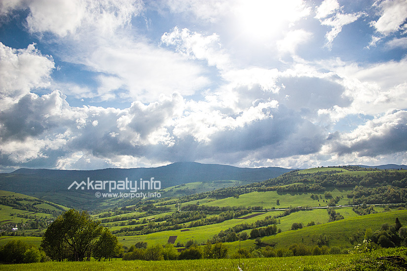
Vynohradiv district is situated in the south of Transcarpathian region and borders on Hungary and Romania. Its major part is taken up by lowland; the highest peak is Mount Chorna (Black Mountain, 570 m) in the town’s suburbs. Borzhava and Tisza rivers play a significant role in the terrain formation.
The district was called Vynohradiv (vynohrad (ukr.) — grapes) for a reason: it has been long renowned for its vineyards. Its middle-age emblem represents a bunch of grapes, fish, an oak twig and a legendary black crayfish that was believed to live in Bator River. They grow lots of grape varieties in the district: Isabella, pink Lydia, Vilder, Noah, pink Delaware, Othello and many others. In Vynohradiv there is a wine cellar that was built in 1972. The vault cut in Mount Chorna was shaped as a horseshoe and is 350 m long, 2300 m2. All year round the temperature there is +11-14°С. In huge ornately carved oak barrels 700 000 liters of wine are aging at once. Annually, traditional regional winemakers’ festival is held in Vynohradiv, which is attended by not only Transcarpathian winemakers, but also by those from the neighbouring countries.
Vynohradiv district has an interesting history. It was here, near Korolevo village, where the earliest evidence of human activity in Ukraine and Central Europe has been discovered, dating back to 1 million years ago.
At the end of the 1st millennium BC, the district was conquered by Getic-Dacian tribes (the Thracians) who defeated Celts. The Dacians built strong fortifications using the lay of the land (river curves, elevations) and previous settlements. These fortifications were used to secure trade routes (Transcarpathian salt was highly valued already in those times) and in case of war. The Dacians achieved their peak prosperity at the end of the 1st century BC. In 103-106 the legions of the Roman emperor Marcus Ulpius Traianus defeated the Dacians and destroyed Setidava town near contemporary village Mala Kopanya. Recently, the archaeological expedition of Uzhhorod national university has discovered there a unique find. During the town excavation male and female burials have been found that contained gold jewelry, dating back to 80-70 years BC, and armaments of the riders of military aristocracy — seven Celtic and three Dacian swords of the 1st c. BC.
- The castle, the palace, ancient churches and urban settlement of Vynohradiv
- St. Michael’s Church (1620), Velyki Komiaty village
- Cathedral of St. Helena (1788), Vylok urban type settlement
- Nyalab Castle (14th c.), ruins, Korolevo urban type settlement
In the 9th-10th c. in the place of the castle there was a Slavic settlement. At the end of the 12th c. in the place of the hillfort a wooden royal hunting lodge was built that gave Korolevo (korol (ukr.) – king) its name. In the 14th c. stone Nyalab Castle was built on the site, which left a mark in the history of the Hungarian Reformation; it was here that a part of the Bible was first translated into Hungarian by Benedek Komiati, a native of Velyki Komiaty village. In 1672 the castle was destroyed at the behest of the Hungarian Emperor after crushing the local barons’ conspiracy. Only some fragments of the castle’s walls survived to this day. The main buildings are situated at the top of the hill and built of rubble stone and lime mortar. The castle’s plan is asymmetrical and has the shape of irregular quadrilateral, adapted to the slopes’ roughness. In the middle of the yard there are the remains of a well. In the south-east part of the hill, at a considerable distance from the main hillfort buildings, there is a separate watch-tower. The castle chapel on the hill has also survived. - Church of the Theotokos Assumption, Novoselytsia village
- Cathedral (14th c., rebuilt in 1821, 1873, 1936), now – Reformed Church, Shalanky village
Reinforced with buttresses, this stone church survived the fires in the middle of the 16th c. and at the end of the 18th c. After it was rebuilt in 1821, the church lost its Gothic characteristics. In 1873 an extension was built on the flank side. The narthex was added in 1936. - Cathedral (13th c.-14th c.), Tysobyken village
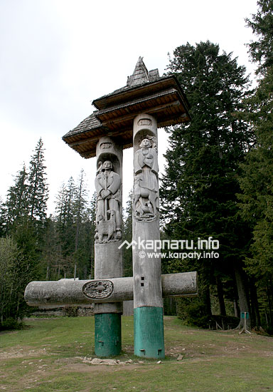
- Turul statue, Vylok urban type settlement (near the checkpoint)
Turul or gyrfalcon is the largest representative of the falcon species. The name derives from Turkic “togrul” that means falcon. Sometimes it is called falcon hawk. Turul is a totem symbol of Hungarians. There exist two legends that associate important historical events with this bird. According to the first one, it was turul who showed the road across Veretsky pass (or “Ruski Vorota” (Rus’ Gate)) to the Hungarian tribes. The second one tells that turul saved the life of Francis Rakoczi, the leader of the kuruc anti-Habsburg rebellion (1703-1711), by giving him in its beak his sabre, which he had lost hold of.
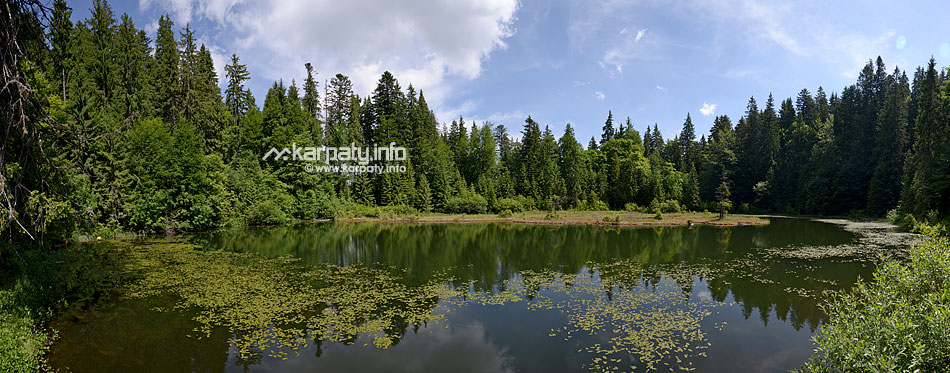
- State botanical reserve “Chorna Hora (Black Mountain)” (area – 765 ha)
The reserve is situated on the steep slopes of Mount Black to the east of Vynohradiv. There are mixed coniferous and deciduous forests here that consist of sessile oak, common hornbeam, in some places with the admixture of Carpathian walnut, large-leaved linden, and beech. The undergrowth includes hawthorn, hazel, dogwood and shrubs of prickless dog rose. The herbage includes spikemoss, rough horsetail, cushion spurge, milkvetch, Seseli pallassii and others. Common birds are pheasants, partridges, owls, woodpeckers, common buzzards, starlings, stock doves, wood pigeons, corncrakes, skylarks and others. Forest fauna includes roe deer, wild boars, hares, squirrels, foxes, martens, weasels, badgers and European wildcats. In the vineyards one can see the largest of the beetles – Melnyk’s grango. - Botanical reserve “Yulivska Hora (Yulivska Mountain)”
The reserve is situated near the Dyula village at the Ukrainian-Romanian border. It is the natural habitat for rare groups of sessile oak, Turkish oak and linden.
| Service | Address | Phone number |
|---|---|---|
| District Council | 5 Myru Square, Vynohradiv | +38 (03143) 2-62-94 |
| Tourism Department of District Administration | 3 Myru Square, Vynohradiv | +38 (03143) 2-17-58, 2-65-50 |
| Telephone number information centre | +38 (031) 991-09-11 | |
| District hospital | 13 Likarnyana Street, Vynohradiv | +38 (03143) 2-23-41 |
| Pharmacy | 16 Myru Street, Vynohradiv | +38 (03143) 2-20-96 |
| Post office | 41 Myru Street, Vynohradiv | +38 (03143) 2-11-03, 2-14-56 |
| Mountain search and rescue service | +38 (03143) 2-61-28 | |