Ukraine
 Poland
 Slovakia
 Українською
Khashchovanya
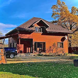
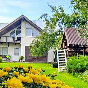
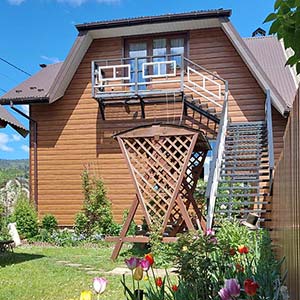
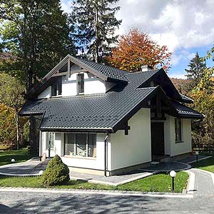
Khashchovanya is a small Boyko village with total area of only 1.3 km, situated at the south of Skole District in 4 km from Volosyanka, 11 km from Slavske and 40 km from the district center, with a population of around 380. Local authorities are represented by Volosyanka Village Council.
The village was founded in 1580. According to legends, when the Tatars started to attack villages, their citizens ran away to hide into high mountains, in thickets, – “khashchi”, – and settled there. They began to cut down forest and build their dwellings there. That is what the village’s name is derived from.
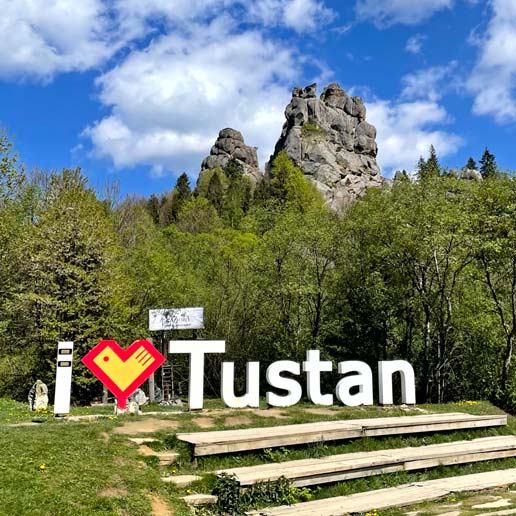
Through the village runs mountain river Slavka, the Opir’s right-bank tributary which originates in northern slopes of the Watershed. To the north of the village, there is Mount Kychera (851 m); to the south – Mount Rivna (912 m) and Mount Gnyla (918,8 m); to the west – mountains Yavornyk Malyi (1015 m), Magura (941 m), and Perehresnyi (989 m). The highest peak in the vicinity is Mala Slavka (1121,5 m), situated between the villages Khashchovanya and Yalynkuvate.
In the village survived traditional Boyko-style wooden sacral buildings, such as the Church of St. John the Baptist (1846) and the bell tower of XIX c. – architectural monuments of state importance.
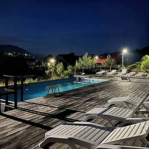
Khashchovanya is a good choice for those willing to have rest in quiet and tranquility. In the picturesque hills at the border of Lviv and Transkarpathian Regions near the village one can find Khashchovanya Lake, the waters of which in summer become warm enough to bathe. There is no exact data about the origin of the lake. According to one of the versions, it belongs to landslide lakes, according to others, it’s anthropogenic. Not far away from the village there is Zakhar Berkut resort.
Level of difficulty: easy.
Total distance: 30 km.
Duration: 5-6 hours.
Route: Slavske (train station) – Volosyanka (wooden Boyko church) – Khashchovanya (lake at 800 m above the sea level) – Volosyanka – Slavske (train station).
The route goes through the picturesque Boyko villages past the raging river Slavka. It includes visiting wooden churches, Boyko dwellings, and spectacular alpine lake at 800 m above the sea level near Khashchovanya village. Breath-taking landscapes of the Borzhava mountain valley will undoubtedly produce an impact on any photo enthusiast. Suitable for both, beginners and advanced cyclists.
Hiking tour "To the mountain Chorna Ripa":
Level of difficulty: middle.
Total distance: 30 km.
Duration: 2 days.
Route: Khashchovanya – Lena Mount – Gnyla Mount – Blyznyata Mount – Chorna Ripa Mount – Vysokyi Verh Mount – Slavske.
Rising height: 730 m.
The highest point: 1285 m.
A part of the route goes through the open valleys with amazing alpine landscapes of the surrounding mountains. Within view are the far peaks of Near-Watershed (Inner) Gorgany. The most difficult part of the route is Mount Gnyla and the slopes of Mount Blyznyata. At the top of the Mount Vysokyi Verh (1245 m) there is a geological monument associated, according to the national legends, with Opryshky leader O. Dovbush – spring Pysana Krynytsia (Inscribed well). As legend has it, Dovbush stopped by the spring and impressed some inscriptions on the stones with his finger, hence originating their name.
Mountain rescue team warning.
Rescue service contacts
| Service | Address | Phone number |
|---|---|---|
| Volosyanka Village Council | Volosyanka | +38 (03251) 4-73-43 |
| Telephone number information service | +38 (032) 99-109-11 | |
| Post office | served by the department: 5 Ivana Franka Street, Volosyanka | +38 (03251) 4-73-47 |
| Mountain search and rescue service | 10 Ivana Franka Street, Slavske | +38 (03251) 4-21-02, +38 (097) 493-44-12 |