Ukraine
 Poland
 Slovakia
 Українською
Bohorodchany district
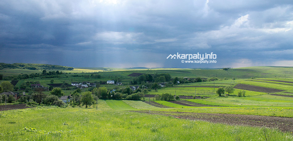
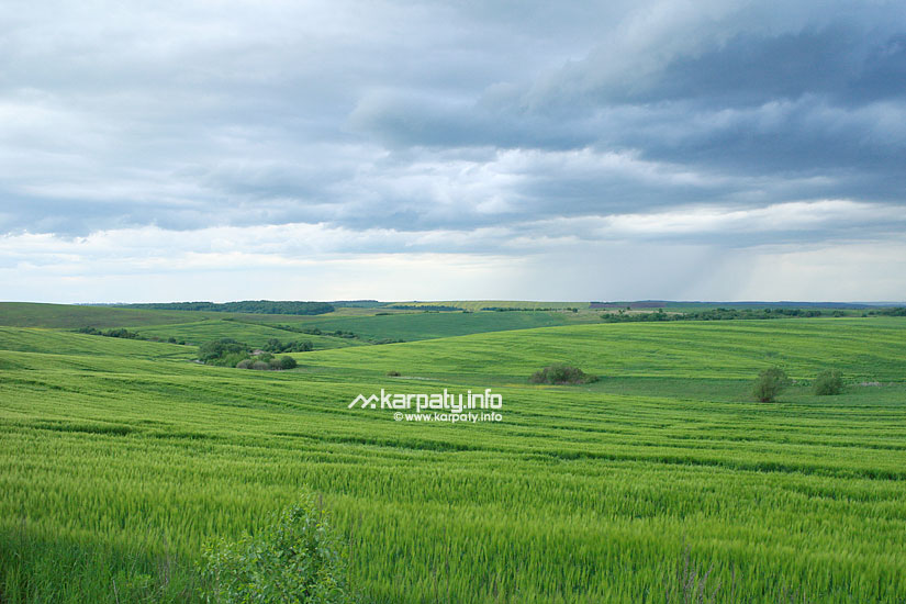
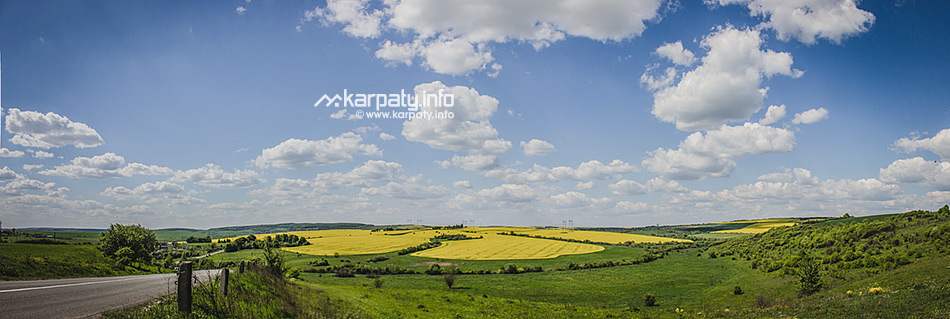
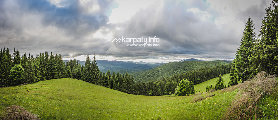
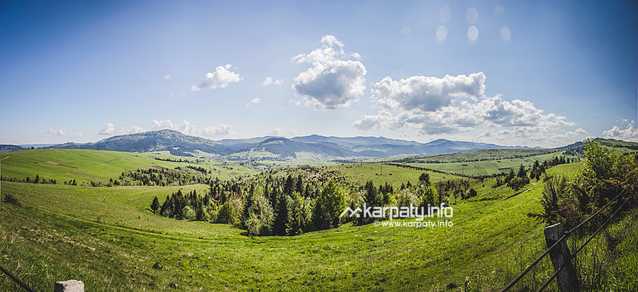
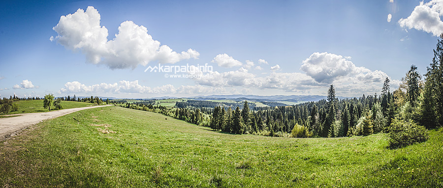
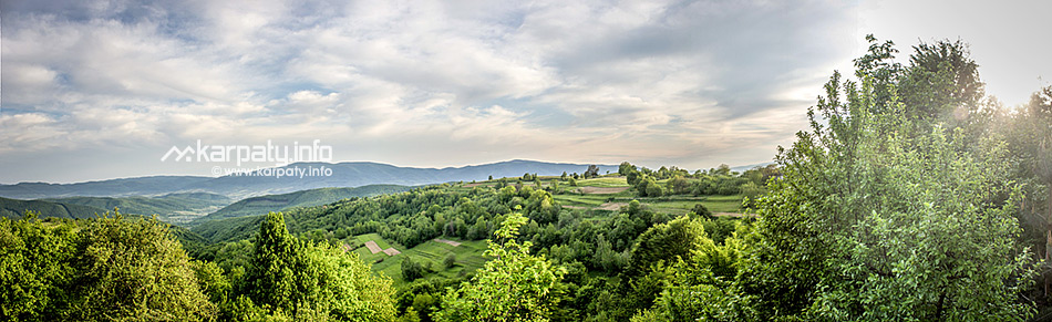
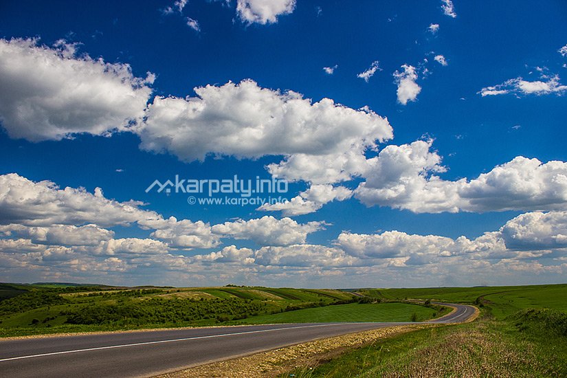
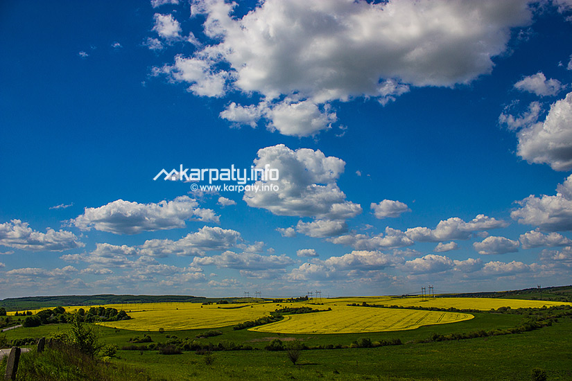
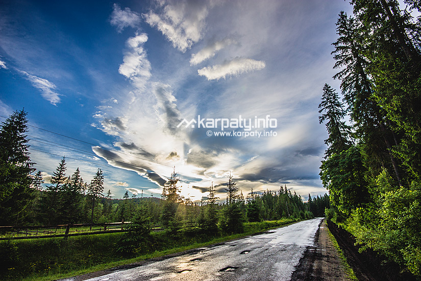
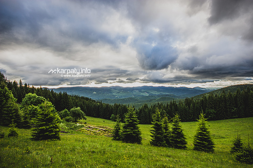
The district combines three landscape zones: plain, foothill and mountainous. As a result of such a combination, you can admire wonderful sceneries while driving from Івано-Франківська. The highest peak is Mount Syvulia (1836 m). The total area of forests occupies more than a half of the district.
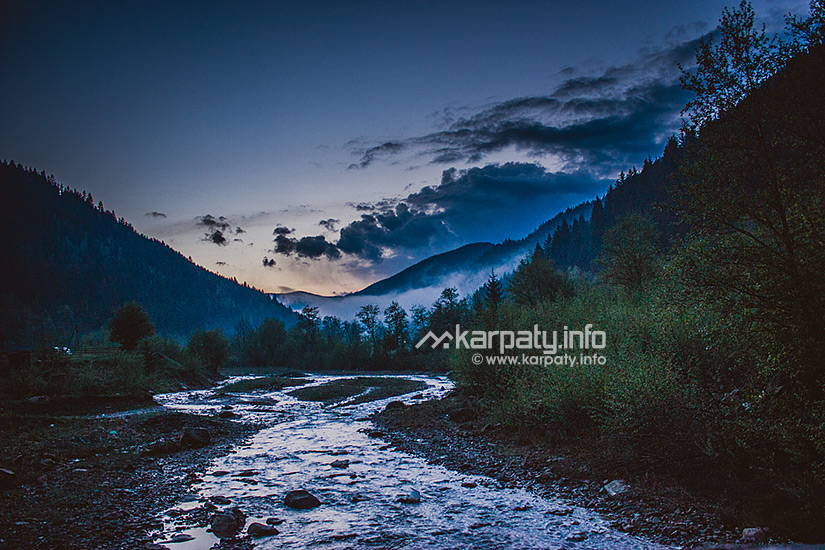
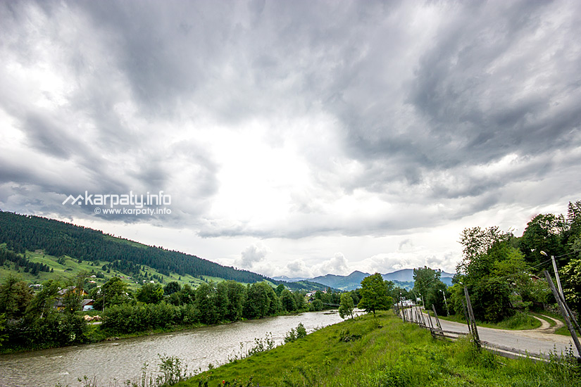
The district centre is the urban-type settlement of Bohorodchany — located on the bank of the Bystrytsia of Solotvyn mountain river. The first written account about it was found in 1441.
The urban-type settlement of Solotvyn that was named Krasnopil in the Galician–Volhynian Chronicle (XI cent.) belongs to the most ancient settlements of the district. The development of salt industry in XVI cent. soon became the reason for changing the name of the inhabited locality.
Other ancient settlements in the district: Zhuraky, Pidhirya, Stari Bohorodchany (1441) and Dzvyniach (1450).
The ancient mountain village of Стара Гута is 'famous' for having been the location of President Leonid Kuchma's dacha (summer cottage).
The village of Starunia impresses tourists with its natural phenomena. Near this village, in the place of old ozokerite industry, there is a small 1,5 km2 area. This place is of high seismic sensitivity that manifests itself in the appearance of cracks and precipices, growth of rapids and small waterfalls, in the mud volcanism, active dynamics of gas-emission and also in the uneven rise — about 1 m in seven years. More than 300 permanent and temporary springs of fresh and mineralized water, connected with fracture violations, crop out to the surface. Wonder-Starunia responds to earthquakes that occur within a radius of 3-6 thousand km in Romania, Italy, Germany, Iraq, in the Caucasus and even in Soviet Central Asia.
Also in Starunia, the remains of a mammoth and a woolly rhinoceros were found in the old ozokerite mines at the beginning of the 20th century. Now these remains are exhibited in one of Krakow museums.
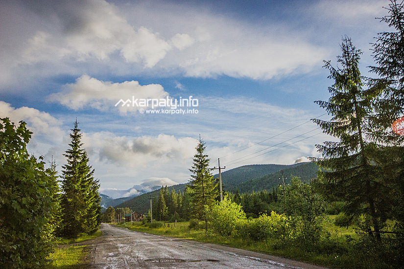
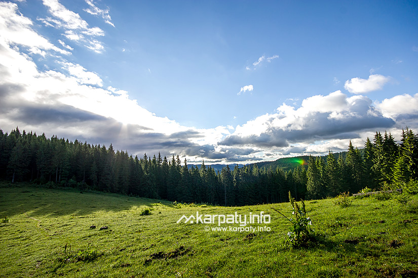
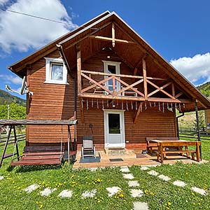
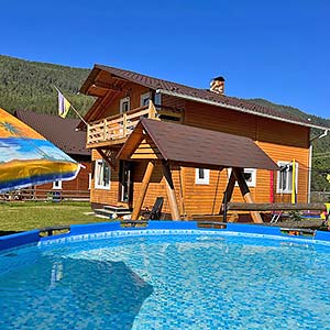
Tourist infrastructure of the district is poorly developed: there are some hotels and restaurants, a small ski lift for beginners and some manor houses for green tourism, mainly in the villages of Гута та Стара Гута.
Architectural and historical monuments
- Manyava Skete
- The Dominican Monastery (XVII cent.), Catholic Church, the Clergy Chambers, cells and a stone wall with gates, 61 T. Shevchenka Street, the urban-type settlement of Bohorodchany
- St. Peter and St. Paul's Church (XVII cent.), the village of Rosilna
- Ruins of the defensive structures on Mount Syvulia
Remnants of trenches and dugouts of World War I, the majority of which are made of rock stones.
Natural monuments and protected areas
- Reserved forest of national importance 'Manyava Skete'
Created in 1982 around the monastery. Mixed forests (spruce, beech and fir tree) of artificial origin aged 15-70 prevail in the reserve. A small massif (1 hectare) of old 300-year old Polish larch forest is very valuable in the reserve. The height of some trees is about 35-40 m. The planting of larch trees is important as a forest-seed area and one of the most ancient forest-cultural monuments in the Ukrainian Carpathians. The young 40-year old progeny is growing around the stand of trees spread over an area of 3 hectares. - Manyava Waterfall
- Mud volcano and a salt well, the village of Starunia
- Mineral water spring, the village of Huta
The village of Стара Гута is a poit convenient for the beginning of hikings in the mountains. All the routes are marked, they start from the stop in the village (near the school) and lead to the Gorgany mountain range.
- The village of Stara Huta — Mount Serednia
The distance is 39 km, marked with blue colour.
You can return from Mount Serednia to the village of Stara Huta or continue your trip to Mount Vysoka (marked with orange colour). You can get to the village of Osmoloda from Mount Vysoka through the Matahiv mountain range (a path is marked with red colour). - The village of Stara Huta — polonyna Serednia — Mount Ihrovets (1804m)
The distance is 34 km, marked with green colour.
The same as the previous one, this route can be continued to the village of Osmoloda. - The village of Stara Huta — the traverse of Mount Shyvorys — the traverse of the Chortky range — Maniava waterfall — Bukhtivets waterfall — the village of Pasichna
The distance is 25 km, marked with red colour.
The distance is 45 km, marked with green colour.
Between the villages of Pidhirya and Horokholyna, in the protected area of Dibrova, you can visit a forest eco-educational center. In the village of Zhuraky, there is a monument to a scientist-beekeeper Mykola Vytvytskyi. In the village of Starunia, the route goes into 3 different directions:
- to Starunia volcano and ozokerite mines;
- to the salt well;
- to the protected area of Kamyane from where you can go on foot to the observation deck on Mount Holytsia.
| Service | Address | Phone number |
|---|---|---|
| Bohorodchany District Council | 66 T. Shevchenka Street | +38 (03471) 2-41-99 |
| Bohorodchany Town Council | 3 M. Hrushevskoho Street | +38 (03471) 2-33-43, 2-24-73 |
| Central district hospital | 35 T. Shevchenka Street | +38 (03471) 2-51-35 |
| Telephone number information service | +38 (034) 991-09-11 | |
| Central district pharmacy №13 | 47 T. Shevchenka Street | +38 (03471) 2-12-29 |
| Post office | 37 Holovna Street | +38 (03471) 2-31-90, +38 (067) 400-28-87 |