Ukraine
 Poland
 Slovakia
 Українською
Ukraine
Ivano-Frankivsk region
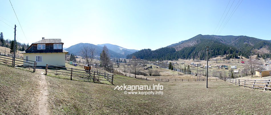
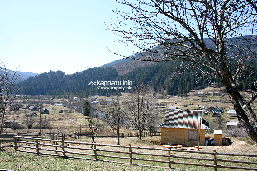
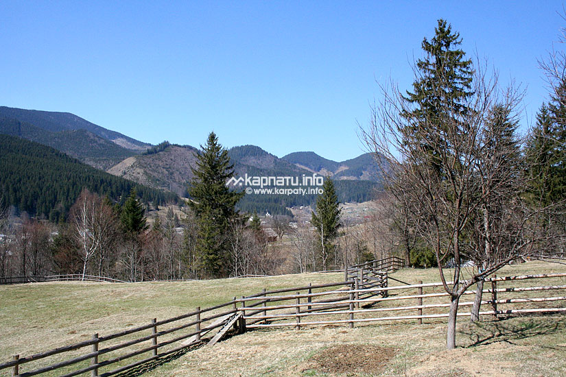
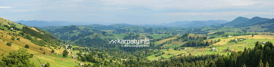
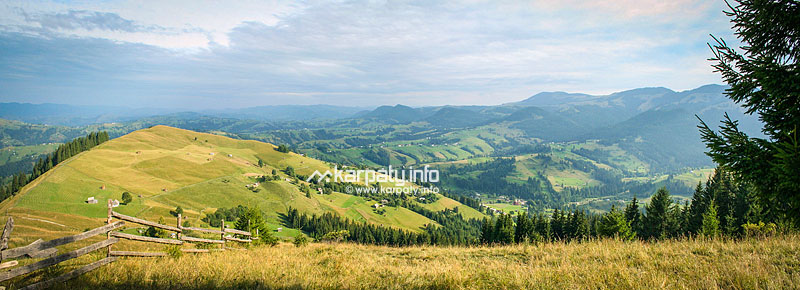
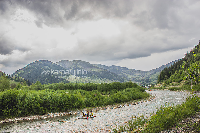
Verkhovyna district
Verkhovyna district
The district was founded in 1966.
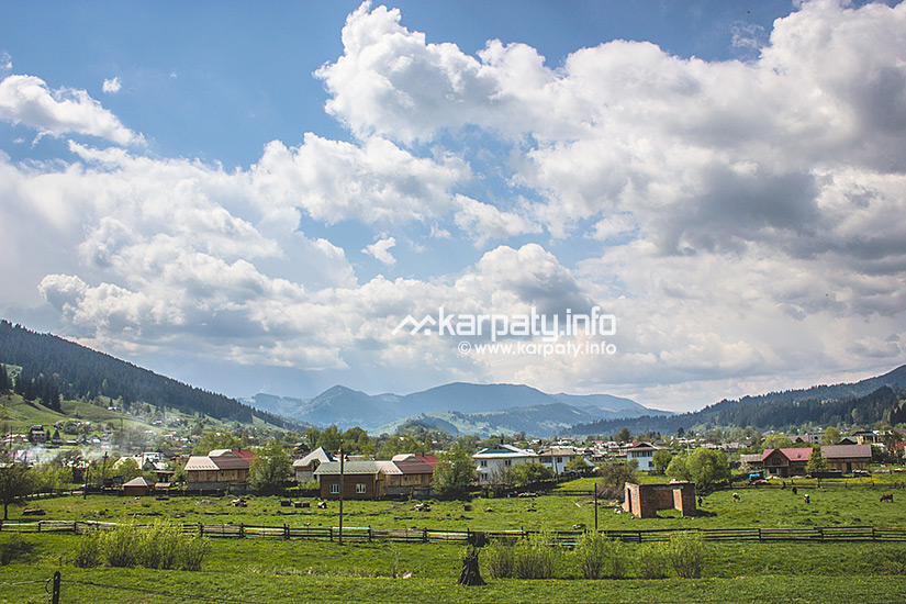
Verkhovyna village is the district centre.
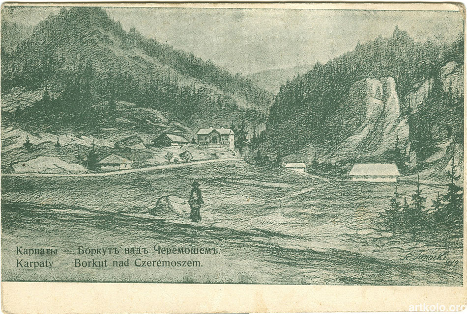
Krasnoyillya (its former name is Didushkova richka), Dovhopole, Kryvorivnya
villages are the most ancient settlements.
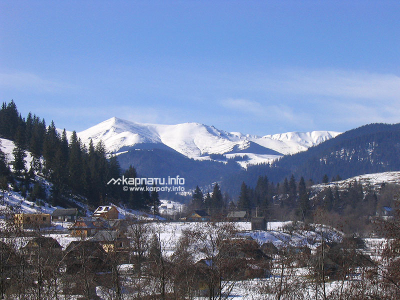
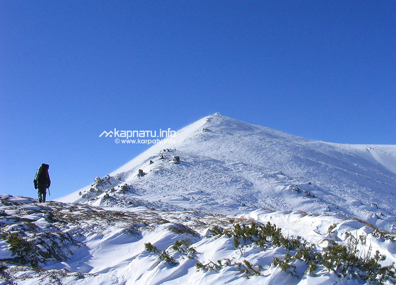
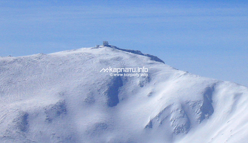
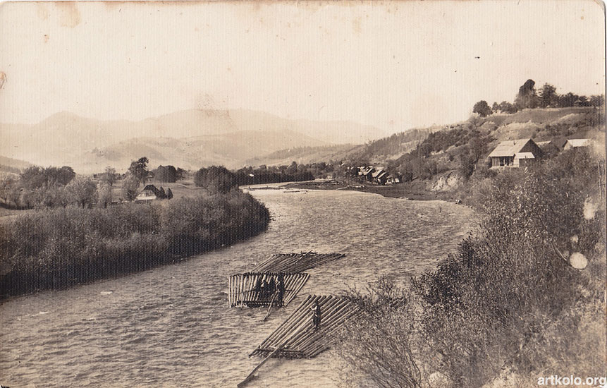
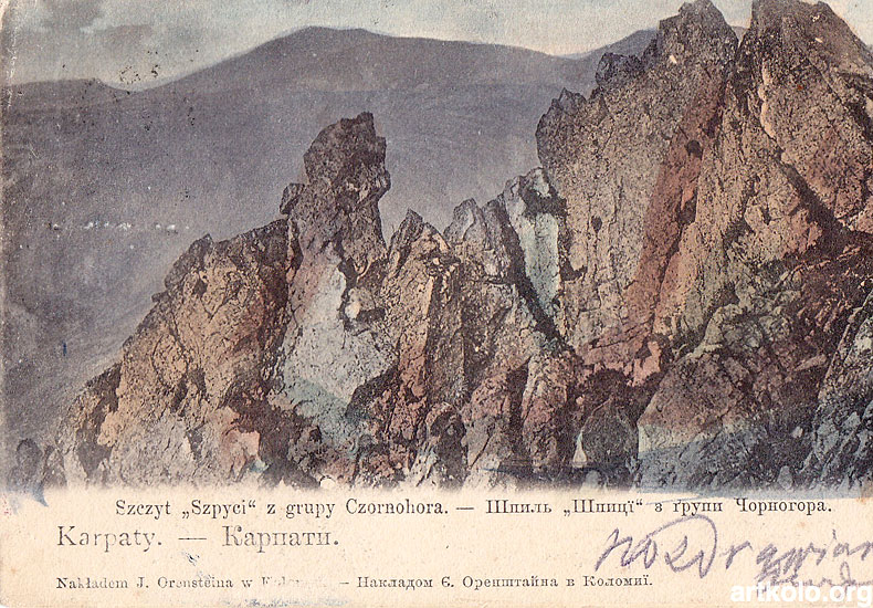
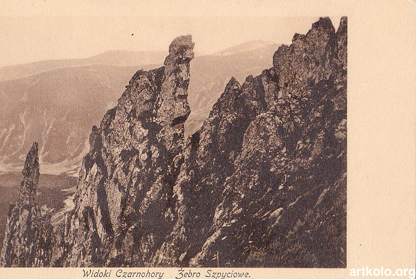
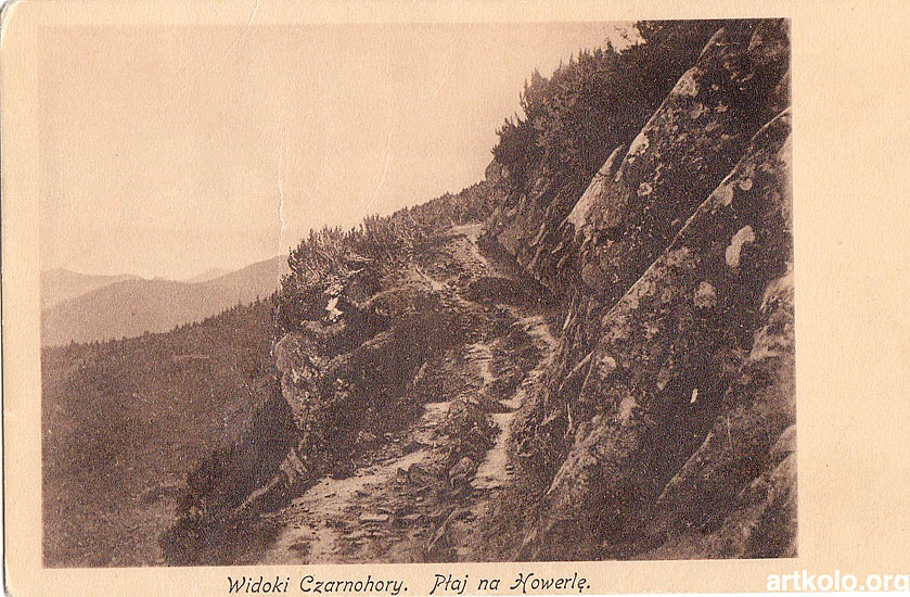
Verkhovyna district is the only administrative district in the region, is located entirely on the territory of
the Carpathian mountain system,
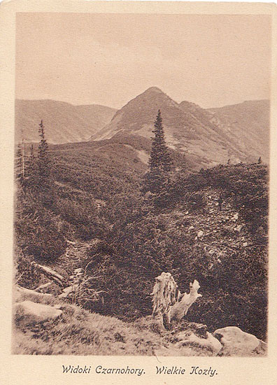
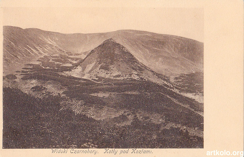
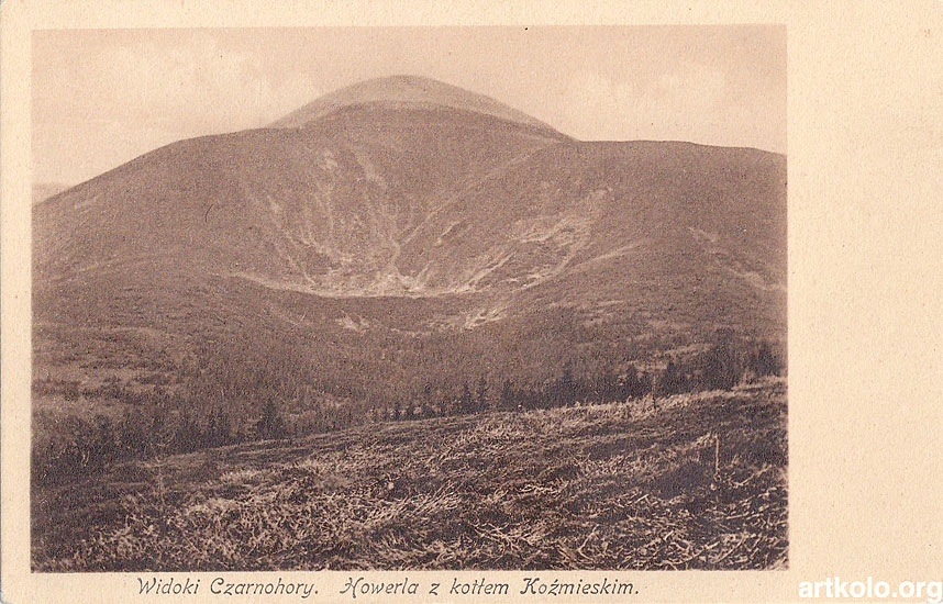
within the Hutsul Carpathians (Chyvchyny, Chornohora, Hrynyava). There is Ukrainian-Romanian
border going along the Chyvchyny mountain range which is 45 km long.
 Curious details...
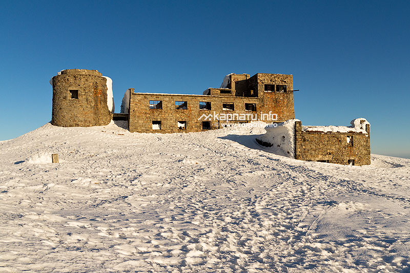
 Worth visiting:
 Transport:
The information on the region is kindly provided by Vasyl Kobylyuk.
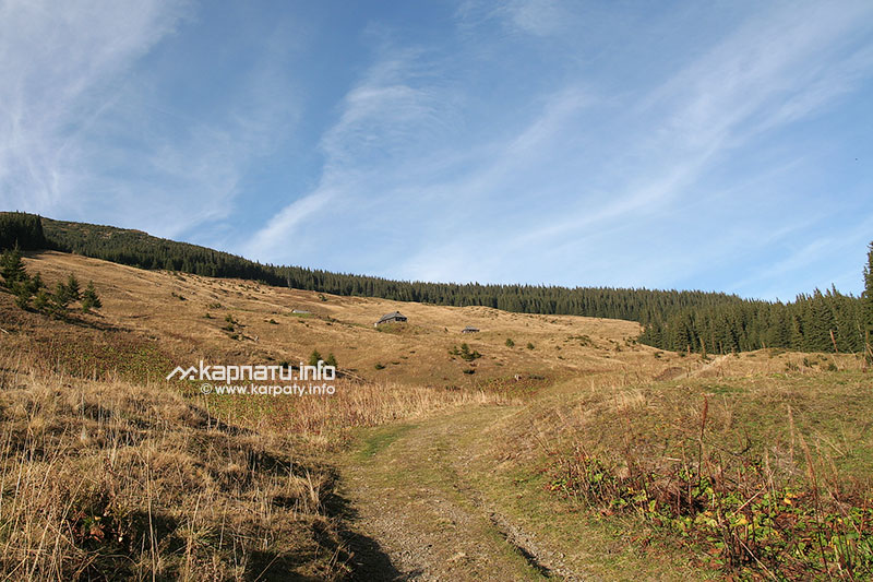
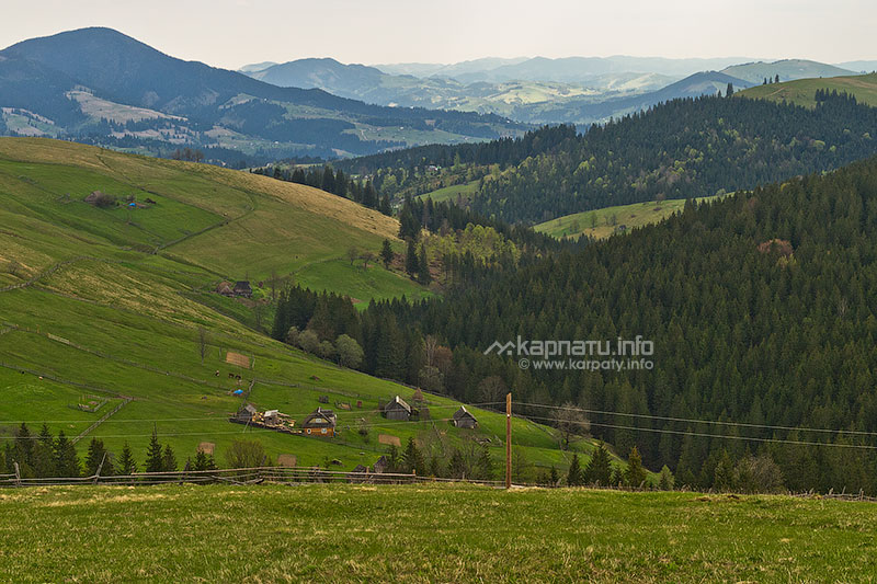
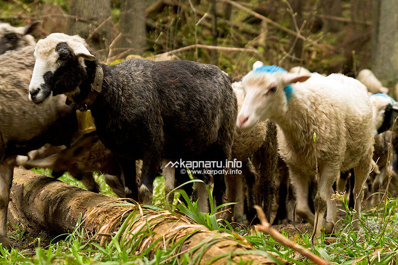
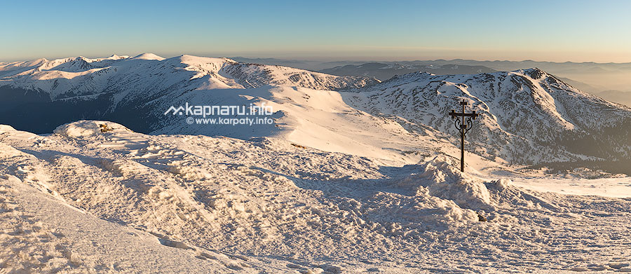
Photos