 Ukraine
 Poland
 Slovakia
 Українською
Tyachiv district
Tyachiv district as a territorial unit was founded in 1946, with its centre located in Tyachiv village. Then in 1961 Tyachiv village became Tyachiv town.
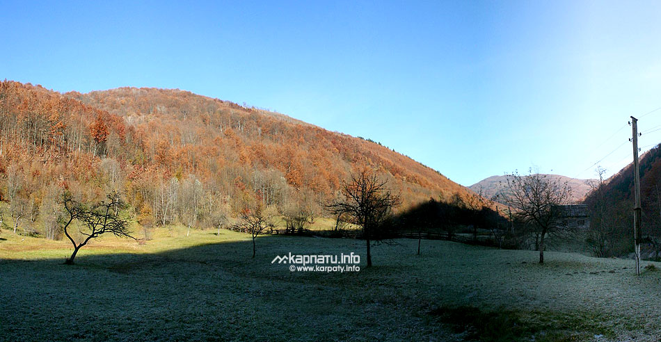
It is situated in the south-eastern part of the Transcarpathian region, it borders with Khust, Mizhgirya and Rakhiv districts of the Transcarpathian region, on the North it borders with Ivano-Frankivsk region, on the South — with Romania. The district is one of the biggest in the Transcarpathians and in Ukraine (among village districts), its square is 1.8 thousand km2 (14% of the region's territory), its extension from the South and to the North is 100 km, and from the East to the West — 40 km. The biggest part of the territory is occupied by the mountains, the highest peak is Bratkivska mountain (1788 m). Altitude difference between the northern and the southern population centres is more than 300 m.
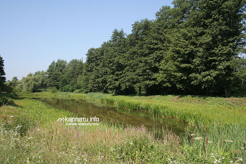
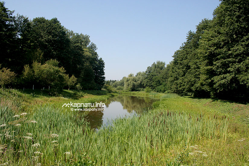
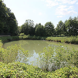
There are 8 rivers flowing through Tyachiv district, Tysa river (its length is 42 km) is the longest, then Tereblya river (41 km long) and Teresva river (56 km long).
 Climate of the district
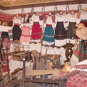
The population is 171.8 thousand people. 27 nationalities live in Tyachiv district, among them there are Romanians (10.6%), Hungarians (3.4%) and Germans. There are places of their compact residence. For example, Nyzhnya Apsha village is almost Romanian. You will not hear Ukrainian there, and to communicate with local residents is easier in Russian. There are a lot of Hungarians in Tyachiv, some inscriptions there are doubled in Hungarian and in Ukrainian.
 From the history of the district
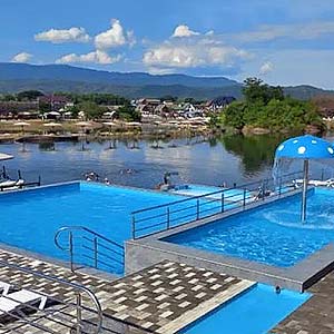
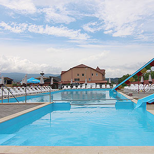
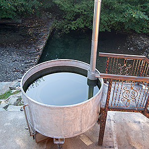
The district has a high natural-recreational and tourist-health resort potential. 67 mineral springs have been found out there (including thermal springs), they contain to 20 microelements vital for the human health, and taking into consideration their medicinal properties, they are quite as good as the well-known waters of the Caucasus, the Czech Republic and France.
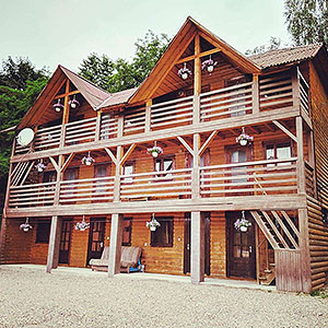
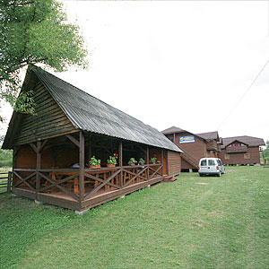
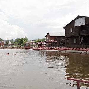
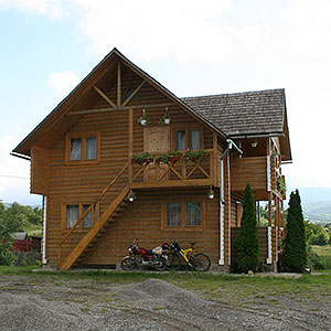
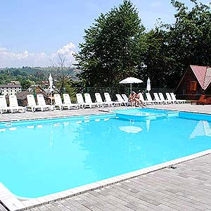
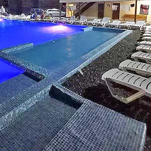
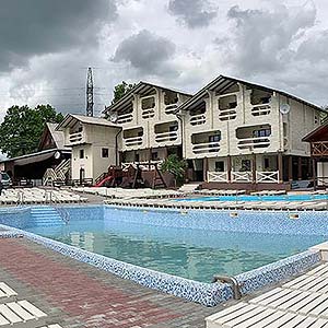
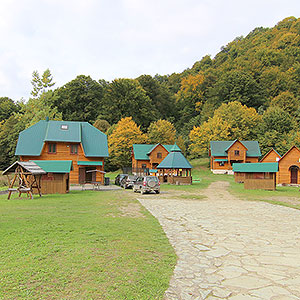
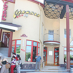
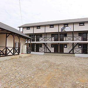
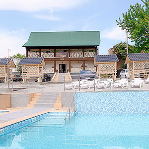
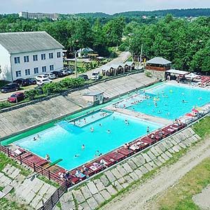
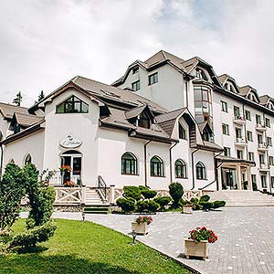
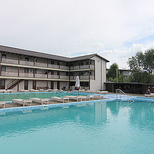
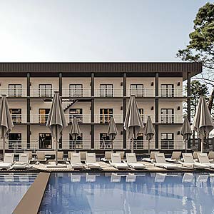
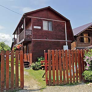
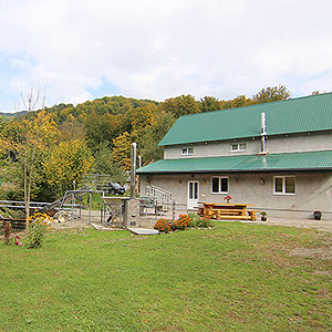
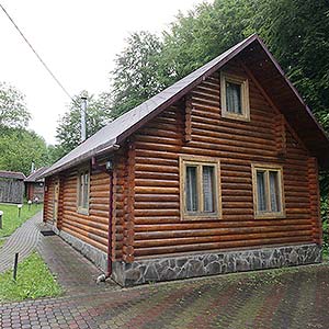
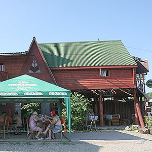
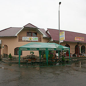
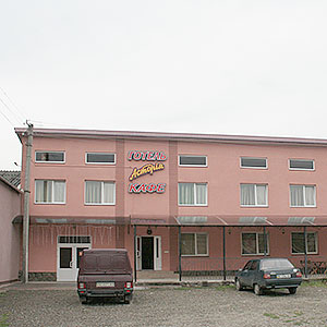
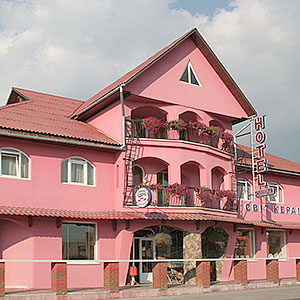
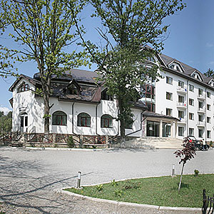
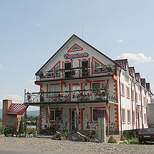
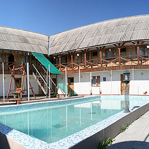
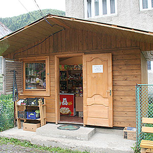
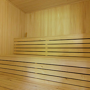
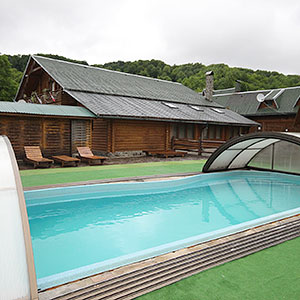
On the territory of the district there are 40 health resorts, tourist-recreational establishments and hotels. In Solotvyno village the health resort is located. Brine from Solotvyno salt lakes up to its properties is close to the Dead Sea brine. Round the salt lakes a score or two health resorts have been built, and there is also an allergologic hospital.
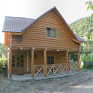
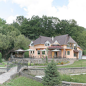
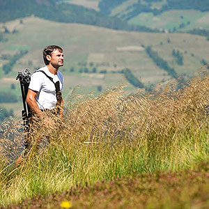
Rural tourism is being developed in Ust-Chorna, Dubove, Novoselytsya, Neresnytsya, Ternovo, Velyka Uholka and in Hanychi villages. Several pedestrian tourist routes have been paved and marked in the highlands.
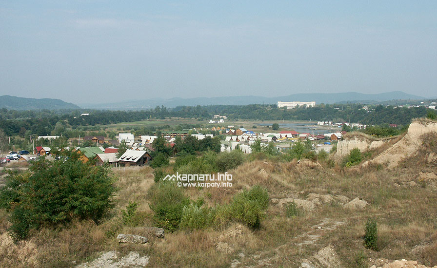
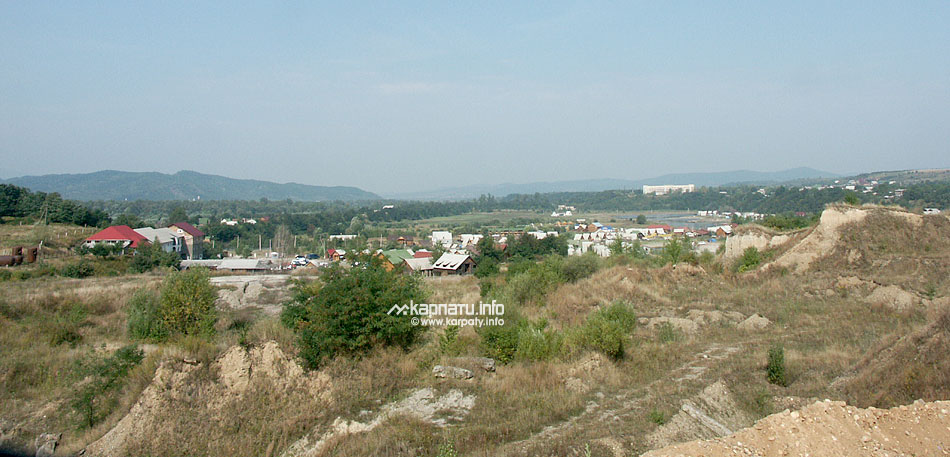
- Tyachiv town centre
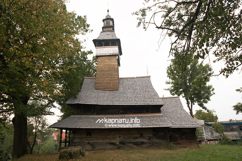
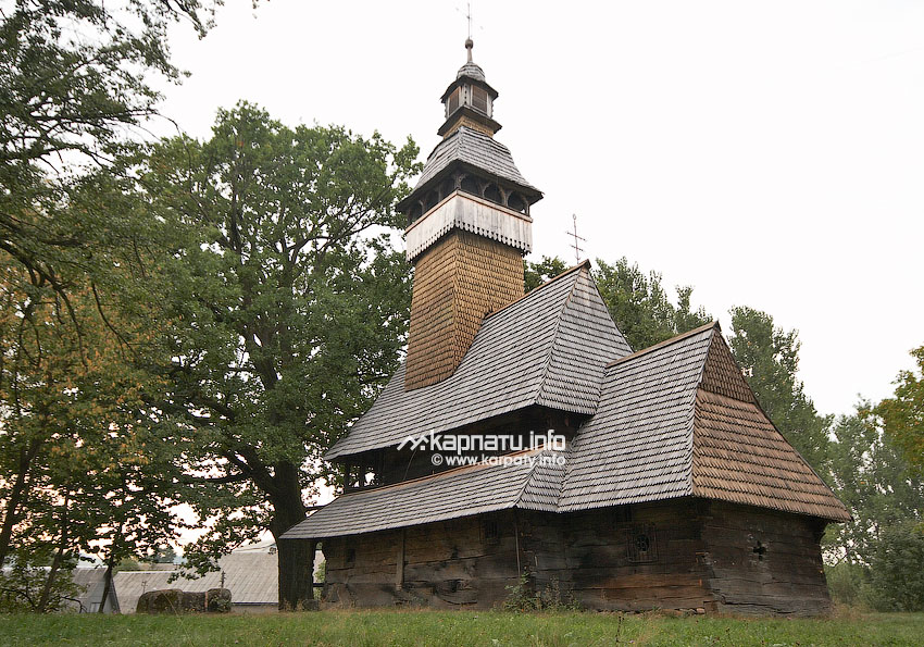
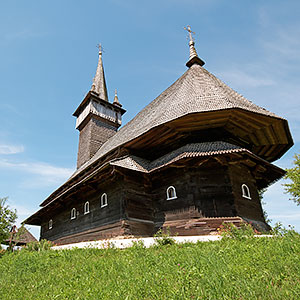
- The wooden St. Nicolas' Church (1604, beginning of ХVІІІ century), Nyzhnya Apsha
- The wooden St. Nicolas' Church (1470, ХVІ century, 1770), Kolodne
- The saline lakes, Solotvyno
- The Allergy Clinic, Solotvyno

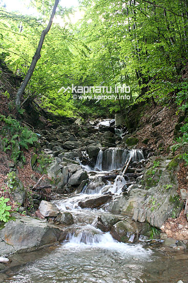


Marmarosh tectonic area runs across the southern part of Uholka reserve within the steep middle mountains, it is piled with the low-powered limestone-marl and carbonaceous deposits of the Jurassic period. The district relief is characterised by the exotic calciferous crags 70 m high. Those are the blocks of the Jurassic limestone — klypens. They are surrounded by the younger rocks, which were deposited during the Chalky period and are named flishes. Numerous tectonic cracks in the limestone blocks, a great amount of the rainfall (to 1600 mm per year) promoted the caves and the tunnels development or their formation.
On the Uholka massif territory there are more than 30 karst cavities. Their entrances are located quite high (100-300 m high) above the valley level, and sometimes they are so overgrown with grass, that it is difficult to find them. The most caves are washed off and it is almost impossible to go through them. Probably, they present the remains of the old subterranean waterways, which remained after the Velyka Uholka and Mala Uholka river beds formation. It is also confirmed by the fact that the caves' entrances are on different levels regarding to the river beds, and their notches' roundness tells about the origin of the pressure-siphon underground waters circulation in the past. On this basis, it is possible to suppose that the caves, which are in the upper part of the water parting range are older than those, which are lower.
The Friendship Cave (Druzhba, Romania)
Druzhba is the biggest cave in the Ukrainian Carpathians and it is interesting for the modern underground channels studying, for the district's hydrology and also its karsting intensity.
The entrance to the pit is at a height of 500 m in the beech forest and on Mala Uholka suburbs. The entrance to the cave is at the bottom of a 3 m deep karst funnel of the ellipse-like shape (10х15 m) with sheer and abrupt walls. The pit is of the collapse type. It is obvious that the shaft formation began from below. Corrosion process (chemical limestone liquefying) was soaking from the top through the rifts in the rocks and it promoted the cupola formation at a certain depth, which was gradually growing up to the top. Growing higher and higher, the cupola almost reached the earth surface. Strong rains undermined a thin dike, it crumbled and formed a pit.
It is confirmed by the huge heap of the clumps at the precipice bottom. The pit walls are wet, the upper part is covered with moss. They have big and small niches, many horizontal and vertical cracks. The vertical part of the pit to the top of the cone-like bank is 21 m deep. The cone consists of the fine stones, mixed with soil and humus, which got into the pit after the collapse. 4 m from the wall cone, pits diverge almost square, forming the high hall ceiling, which is extended along the cave axis. The walls are hidden in the mysterious darkness of the cave. The lantern's ray wrests the walls fragments with thin tubes of stalactites, the enigmatic bushes with helictites, and an uneven, covered with the clumps, dirt floor from the everlasting darkness. The northern part of the hall is sown with the stalactites of different length and thickness. Many of them are enwinded by the tiny adornments of the stone tubes — helictites, which are interlaced. This part of the hall has a jut on the ceiling and looks like the jeweller's shop window, which is covered with the stone flowers, shined by the sun rays. Immediatelly behind the fairy forest with stalactites and helictites in the hall's wall there is a small slot of the northern way, it is a bit above the cave dirt floor. The slot is step by step getting narrower and forms the juts upwards. In some places it is very narrow and it is difficult to move through it. Having done several steep turns, the slope in 20 m becomes an impassable rift and a short spring flows out of it. The spring runs along the way dirt floor, forming small baths and cascades and when it reaches the hall, it disappears under the clumps heap. On the south the dirt floor abruptly gets lower and changes into the slimy talus, which leads to the slot of the mine under horizons. The way looks like a small well.
There a short spring appears again. Moving forward through new ways, going deeper and deeper, you can reach the faraway zones of the cave, in particular to its best hall named after Samanta Smith. In general, the cave presents a complex of beautiful halls and galleries, which are located on different levels. All the studied ways totally make 900 m, the depth is 45 m. Atmospheric temperature in different parts of the cave varies from 5°C to 8°C, humidity — 100%.
The Uholka Caves are a real natural science museum. It is interesting for archeologists and paleontologists because of the subterranean labyrinth in the Viv cliffs. It is a complex of caves with complicated ways interlacing, which is almost completely filled with small stones and animals' bones.
The Viv Cliff's Caves
They are located 2 km far from the forests of the Carpathian biosphere reserve. The entrances to the caves are on different levels to the north, east and south. In total 8 caves are found out. One of the biggest is the White Walls' Cave. Its ways' length is 118 m. The cave has 5 separate entrances. It is dry, just in some places there are small stalactites, and the walls are covered with the brown, yellow and white colours damp stains. Atmospheric temperature in diferrent parts of the cave varies from 3°C to 6°C, humidity — 100%.
The Viv Cave is the second by the cavities' ways length. Its ways' total length is 50 m. The cave is located in the tectonic rift between two plates, and that differs this cave from others. It is filled with clay and crushed stone of a big size (10-12 cm). The cave's average temperature is 5°C, humidity — 100%.
10 m far from one of the White Walls' Cave entrances (5 m below) there is an entrance to the Perlynova Cave (the Pearl Cave). Formerly they were connected, but later the ways became swollen and cluttered with clay and humus. Comparatively a small cave (about 38 m) is a unique example of the rifts waters influence onto the weakly soluble carbonaceous rocks. Besides stalactites, numerous calcitic globules appeared on the walls, because of their shine and beauty they remind pearls. The whole right wall of the cave is covered with the cascade excrescence, at some places it reaches the ceiling. The cave has two halls: the Hall of the Small Horseshoe Carrier and the Hall of the Fangs. In the second hall a great number of bear's fangs were found. The cave is damp, water drips somewhere and there are small amounts of water on the floor. Average atmospheric temperature is 5°C, humidity — 100%.
Having passed 200 m to the north-west from the Viv Cave, you can find an entrance to the Expeditionary well (the Uporna pit). The entrance is of an irregular lengthened shape 1.5х1 m. The cave is a karst pit of a washed type 24 m deep. At the end of it there are two halls. Somewhere the ceilings in the halls are decorated with a small amount of stalactites. The spring flows along the floor. Atmospheric temperature in the lower part of the cave is 6°C, humidity — 100%.
Other caves of the Viv Cliff are not big, their length is from 8 m to 29 m. Average atmospheric temperature is about 4°C, humidity — 100 %.
The Chur Cliff's Cavities
On the Mala Uholka river's right bank, opposite to the Viv Cliff (80 m higher), the beautiful Kopytsya and Chur rocky cliffs rise high. In the Chur cliff there are 7 karst cavities. The caves are not big, from 8 to 30 m long, they lie along the rifts in the limestone mass. Average temperature in the cavities is 5°C, humidity — 100%.
From the Chur Cliff to the northern east a hardly visible forest path runs across. It leads through the main water parting range at foot of two cliffs with small caves — the Yolkina Cave and the Sriblyasta Kraplyna Cave (the Silver Drop). Then it leads out to a new limestone massif (Hrebin), it is located between the two rivers — the Mala Uholka and the Velyka Uholka. It stretches from the west to the east, and it is 2 km long. There are 6 separate cavities on this massif. Nearby the caves, there are some other karst formations, and in particular grottoes and wells. The Crystal Walls Cave and the Bear's Fang Cave are the most interesting among them.
The Crystal Walls Cave
Nearby Mala Uholka village (close to Pohar mountain) a karst cave is located, it is located in the Jurassic limestone and is created with the help of two perpendicular chambers 5 m and 20 m long. The entrance to the Crystal Walls Cave is opposite to Uholska Plesha summit inside the cliff, which stretches from the south-east to the north-west. Walls are covered with milky-white crystal calcite and green excrescence, by their shape they remind wonderful fairy stone flowers. In the first transit chamber a well-kept bear's skull was found.
The Bear's Fang Cave
It is located 100 m to the east from the Crystal Walls Cave. It is located in a big curved rift, which intersects the limestone at an angle of 60°. A big entrance in the shape of a grotto 7х10 m is overloaded with limestone clumps, which crumbled from the right wall. Entering the cave, almost near the ceiling, you can see a slot leading to the upper floor, it is filled into the same rift. The cave is 30 m long, average atmospheric temperature is -5°C, humidity — 100%.
The Hrebin Cave
The Hrebin Cave is like an extension of the described caves, it is found out in 1958 by schoolchildren from Velyka Uholka village. It is situated on the Velyka Uholka river bank at the foot of a mountain range with the same name and it has two floors. The entrance starts with a small gallery in the shape of a keyhole. After 3 m the ceiling abruptly rises as high as 10 m. Underfoot you can see the hole which leads to a slightly inclined well 13 m deep. Inside the opposite wall, 12 m far from the well, there is a small opening. It is an extension of the cave, it first floor. The cave is beautiful — cascade waterfalls of stone go down the walls, tracery calcite curtains trail from the ceiling, and at the very beginning, immediately behind the narrow way, the view of the well opens in front of you, the ceiling is decorated with the pear-shaped and orbed ribbed excrescences. The Hrebin Cave is really big, it is 457.6 m3, and its length is 71 m. The distance between the ground and first floors is 29 m vertically. You can walk there full-length. Atmospheric temperature in the cave is 8.2°C, humidity — 100%.
The Molochny Kamin Cave (The Milky Stone Cave)
On the Velyka Uholka river bank, three great rocks rise above the forest. The biggest is the Milky Stone rock. It is compound of whitish-blue marble-like limestone, which justifies its name. The shape of the rock reminds a boomerang. It is all overgrown with forest and is dissected by a great amount of tectonic rifts. On its southern slope you can notice an elongated opening. This is the entrance to the cave, the inhabitants called the Milky Stone cave. Due to the spacious entrance (10х2.5 m) the cave is illuminated by the scattered daylight inside. After 5 m from the entrance the cave divaricates. The western way is dead ended, the eastern way crosses into a large hall 10х15 m big and 15 m high. At the height of 10 m the cave is prolonged inside the limestone massif as two perpendicular rifts combination, they end with a hall 5х10 m large. The total length of the cave is 92 m. Average atmospheric temperature in the large hall is -3°C, humidity — 100%. Primeval humnters' settlement was found out in the cave.
The caves of Mala Uholka and of Velyka Uholka differ by their inner morphological construction, by accumulating forms quantity and beauty, by floors' size and number. High caves concentration on such a small square tells about the intensity of the subterranean karst development in this district.
The Velyky Kamin mountain (The Great Stone mountain)
Bare jurassic limestones with a great amount of the fossilized fauna remnants.
The Karst or Stone Bridge
A unique natural arch, that has been created after the karst processes at the sea bottom, according to scientists. It consists of the marble-like limestone and is covered with thinned beech plantations, but the open plots of this huge clump are covered with moss and lichens, which are alternated by the rare fern turfs.
The district is rich in mineral and geothermal waters.
More than 60 mineral springs in Tyachiv district contain up to 20 vital microelements. Especially rich in metals are the highland springs in Ust-Chorna, Ruska Mokra, Velyka Uholka and Tarasivka villages. There are springs with scarce in the Transcarpathians fluorine (Dobryanske and Novoselytsya villages) and with iodine (in Velyka Uholka and Ruska Mokra villages). The mineral waters are rich in silicic acid. That is a natural chemist's for prophylaxis and treatment for a range of diseases. In Velyka Uholka village there is a borehole with warm mineral water, and in Tereblya village there is one with geothermal water.
In 1558 when the ambassadors of the Moscow czar Ivan Hrozny (Ivan the Terrible) were coming back from Constantinople, they stayed at Uholka monastery, where 330 monks lived. They wrote a statement about their staying there, and mentioned about the mineral waters in the monastery's suburbs: "… In the mounatin valley there is a well, and inside — sweet water, which tastes as pear kvass. There are also other wells, but the water inside is like vinegar, or like sour cabbage soup… And in the mountains water flows from the stone, even warm water, it is possible to boil an egg… And a lot of people with different diseases come to bath in the waters and everyone recovers…»
On the territory of Tyachiv district Shyrokoluzhansky and Uholsky areas of the Carpathian reserve are located, as well as some other unique sanctuaries, where the Carpathian rare plants and animals are watched. In Bushtyno village there is a park of the ХVІІІ century.
Uholsky-Shyrokoluzhansky protected area (part of the Carpathian biosphere reserve)
It is located on the southern slopes of the Krasna mountain valley and on its powerful ramification — the Menchil mountain valley from 400 to 1280 m above sea level. The protected area is 15580 ha large. The geological base of the area is made of chalky and palaeogene periods deposits. The southern part of Uholsky forests is located in the northern rocky area. The district is characterized by big limestone blocks with a well-developed karst. Different karst shapes are represented there, and in particular there are more than 30 caves. The limestone cliffs, as high as 70 m, are original geomorphological creations.
The highest summits in the protected area are: Uholska Plesha (1108 m), Pohanska Kichera (1092 m), Vydnozhanska Kichera (1072 m), Vezha (937 m).
The area is located in the beech primeval forests, they also form the upper border of the forest at a height of 1200-1300 m. A bit higher, mostly in the coombs, the crooked forests fragments can appear. Under optimal ecological conditions, beech is characterized by a high vital capacity and it forms highly productive plantations with more than 600 m3/ha of wood reserves.
Beech primeval forests fauna of the massif is rather peculiar. You can see there such exclusive species, which are typical for taiga, as: lynx, long-tailed owl, black woodpecker, bullfinch, as well as you can see species typical for broad-leaved forests. These are black ouzel, middle, white-tergal and grey woodpeckers, spotted flycatcher, grosbeak, hazel dormouse, forest cat, wild boar, salamander. Habitual species for this territory are red deer, forest marten, red field-vole, buzzard, nuthatch, grass frog. The species are popular around the whole forest area in the Carpathians. Such animals as ermine, otter, eagle owl, black stork, forest boa, carpathian triton, etc. are among rare species, which are put down to the Red Book of Ukraine. The only river in the reserve, where danubian salmon from the Red Book can spawn is the Luzhanka river.
The fauna of the cheiroptera of the area is quite various, most of them are related to the karst caves. In total among them are 19 species, 8 of them belong to rare species. These are big and small horseshoe carriers, wide-eared regular, long-winged regular, tricoloured, long-eared and ciliate bats. In winter multitude of the bats in the subterranean shelters counts almost 1500 individuals, they are the big and prick-eared bats.
More than 1000 animals spend winter in Druzhba Cave alone, and they belong to 13 species. Insects are presented by typical Central European species. Among them there are such rare species as hermit beetle, beetle-deer, Alpine whiskered, big oak whiskered, etc. In Uholka karst caves unique fauna of the invertebrate-troglobionts* are distinguished, among them there is a chain of narrow-endemic species.
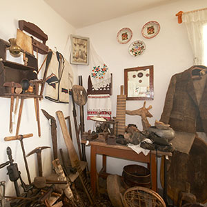
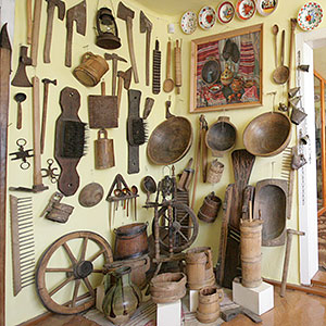
In the Carpathian biosphere reserve region there are several ethnic groups of Ukrainian mountain dwellers. They differ by their original culture, which first of all has been formed under severe mountain conditions' influence. As a result, a specific system of the environmental management has appeared. Some elements do not have analogs. In particular, a unique (for Europe) centre of highland milk sheep breeding and connected crafts have been preserved there. Mountain grasslands — mountain valleys in the VI-IX centuries were used by inhabitants for cattle pasture. Especially, local residents valued sheep, because they got everything from them: milk, cheese, brynza (a sheep milk cheese), wool, etc. Long-term pasturing, when cattle were pastured to the distant grasslands and were kept till autumn there, obtained the finished form in the Carpathians highland cattle breeding. It is connected with specific mountain valley farming existence, it has kept many archaic features untill now. All actions, which accompany it, are certainly connected with old rituals, they have partly preserved their pre-Christian meaning. Especially spectacular is the spring pasturing to the mountain grasslands, the so-called mountain valley movement, it is conducted with special solemnity and stable ceremonial.
The Arshychna sanctuary
Haying area on the water parting range (Pobyta mountain valley ramifications). It is founded to protect natural grouping of the mountain arnika, which is put down to the Red Book of Ukraine.
The Hladynsky sanctuary
It is located in the Chortiv quarter on the Gorgany southern megaslopes. It was founded to protect spruce and fir plantations from 300 to 400 years old. Both species have resonance timber, which is highly valued in musical instruments production.
The Kedrynsky sanctuary
It is located on Pobyta mountain valley spur, on the Water Parting Gorgany southern megaslope. It was founded to protect the Polish larch and European cedar pine tree, latter being a relict species. Larch grows in the reserve, isolated or in biogroups on the southern or adjacent slopes at an altitude of 1080-1240 m. Its main centre is at an altitude of 1200 m on the southern slope in a damp larch-cedar-pine bilberry place. The forest is 130-170 years old. In the upper layer you can see rare trees of a weeping birch, beech and mountain ash.
The Kernychny botanical sanctuary
Mountain pine tree, green alder tree on the stone scatterings, etc. are being protected.
Mineral resources, industry
Code for intecity telephone connection 03134
Telephone information 109, +38 (031) 99-109-11
| Service | Address/Telephone |
|---|---|
| Fire-saving service controller | Tyachiv town, Armiyska St. 121 101, +38 (03134) 2-15-56, 2-21-95, 2-20-55 |
| Militia station | Tyachiv town, Zhovtneva St. 1 102, +38 (03134) 2-13-11, 3-35-90 |
| Ambulance | 103, +38 (03134) 3-35-88 |
| Central regional hospital | Tyachiv town, Zhovtneva St. 48 +38 (03134) 2-20-73 |
| Stomatological hospital (state) | Tyachiv town, A. Vayda St. 1 +38 (03134) 3-26-35, 3-28-34 |
| Stomatological hospital (private) | Tyachiv town, Y. Haharin St. 1 +38 (03134) 2-17-63, +38 (067) 907-11-65, 100-61-41 |
| Twenty-four-hour pharmacy | Tyachiv town, Zhovtneva St. 46 +38 (03134) 3-29-42 |
| Sanitary epidemiological station | Tyachiv town, Partyzanska St. 30 +38 (03134) 2-21-58 (0312) 64-28-77 (regional) |
| Mountain search and rescue service | Ust-Chorna village, Pidhirna St. 5 +38 (03134) 3-61-83, 3-62-55, +38 (097) 933-19-76 |
| State Motor Vehicle Inspectorate | Tyachiv town, Komsomolska St. 6 A +38 (03134) 2-13-69, 2-15-36, +38 (0312) 61-27-35 (orderly) |
| Regional State Administration reception room | +38 (03134) 2-11-55 |
| Tourism and Recreation Department of the Regional State Administration (RSA) | +38 (03134) 3-30-92 |
| Culture Department of the Regional State Administration (RSA) | +38 (03134) 3-26-86 |